1948 Map of Leesville
USGS Topo · Published 1954About this map
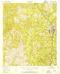
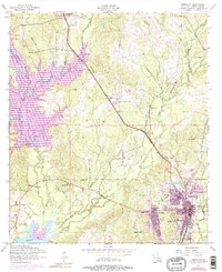
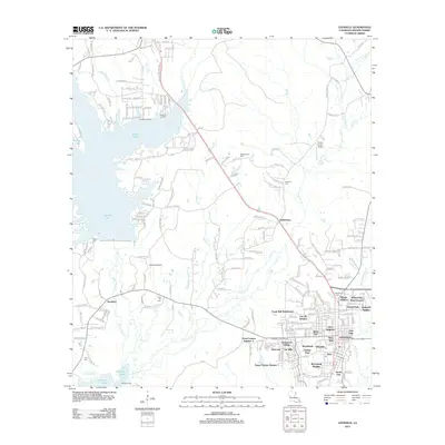
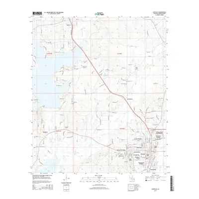
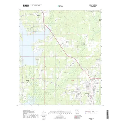
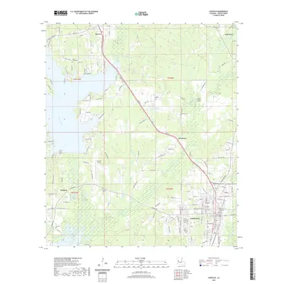
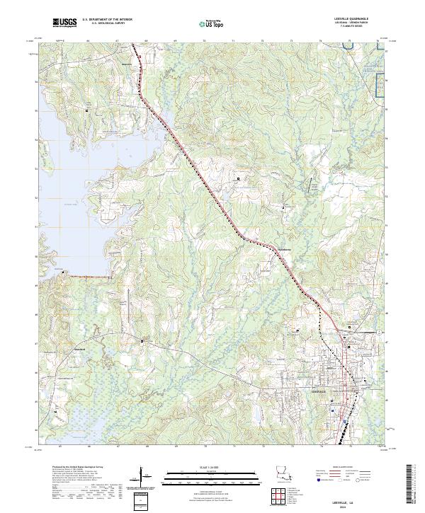
Leesville serves as the central hub of Vernon Parish in this post-war survey, positioned just west of the Camp Polk Military Reservation. The town's layout is clearly defined alongside the Kansas City Southern Railway, which also connects smaller communities like Pickering and Anacoco. To the west, the landscape is defined by the winding course of Bayou Anacoco and Anacoco Creek, where numerous small rural congregations and cemeteries, such as Beech Grove Ch Cem and Milford Ch, dot the timbered terrain.
Find a feature on this map
61 named features on this map. Tap any name to fly to it.
Don’t see what you’re looking for? This feature index may not catch every label — zoom into the map to look around manually.
Map Details
Editions of this 1948 Leesville Map
This is the sole edition of this map. No revisions or reprints were ever made.
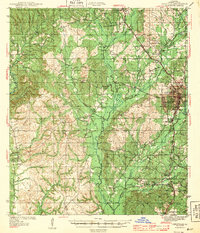
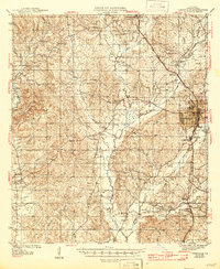
Historical Maps of Leesville Through Time
14 maps found
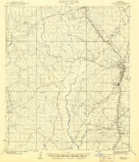
1941 Leesville
Vernon Parish, LA
1943 Leesville
Vernon Parish, LA
1946 Leesville
Vernon Parish, LA
1948 Leesville
Vernon Parish, LA
1954 Leesville
Vernon Parish, LA
1954 Leesville
Vernon Parish, LA
1957 Leesville
Vernon Parish, LA

1986 Leesville
Vernon Parish, LA
1994 Leesville
Vernon Parish, LA
2012 Leesville
Vernon Parish, LA
2015 Leesville
Vernon Parish, LA
2018 Leesville
Vernon Parish, LA
2020 Leesville
Vernon Parish, LA
2024 Leesville
Vernon Parish, LA