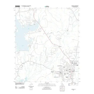
1946 Map of Leesville
USGS Topo · Published 1946About this map
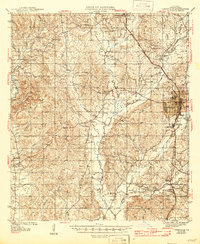
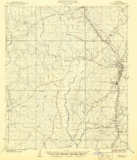
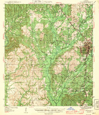
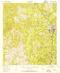
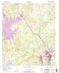
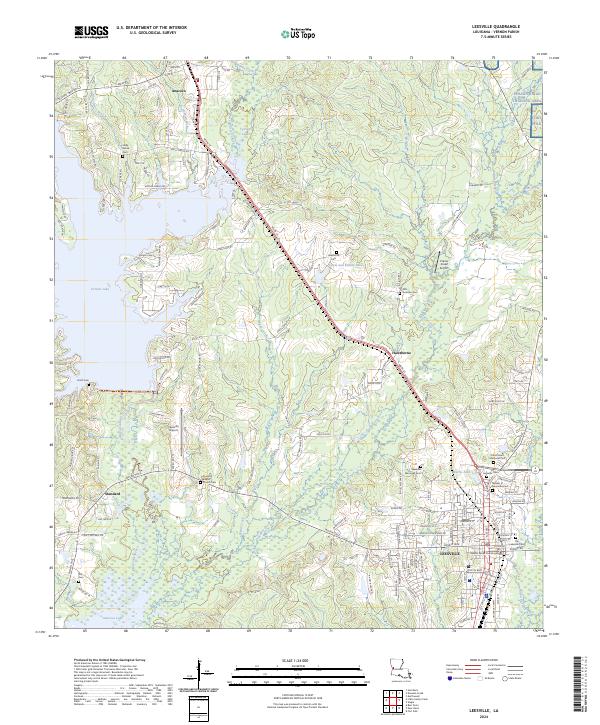
The parish seat of Leesville anchors this mid-century survey of Vernon Parish, which illustrates the transition from a timber-heavy economy to a modern rural landscape. Traces of the region's industrial past are visible through an extensive network of an Old Logging Railroad Grade and an Old Logging Railroad, weaving through the piney woods alongside the operational Kansas City Southern line. The settlement pattern reveals the importance of small crossroads communities and family-named landmarks like Hawthorn, Pickering, and Anacoco. Numerous rural institutions, including Pine Grove Sch, Holly Grove Ch, and Milford Ch, provide valuable data points for local historians. Near the town center, Newllano stands out, while the western edge is defined by the historic crossing at Burr Ferry and the expansive drainage of Bayou Anacoco.
Find a feature on this map
62 named features on this map. Tap any name to fly to it.
Don’t see what you’re looking for? This feature index may not catch every label — zoom into the map to look around manually.
Map Details
Editions of this 1946 Leesville Map
This is the sole edition of this map. No revisions or reprints were ever made.
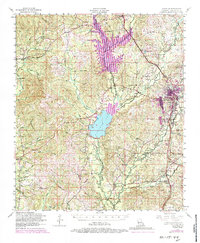
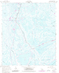
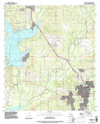
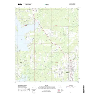
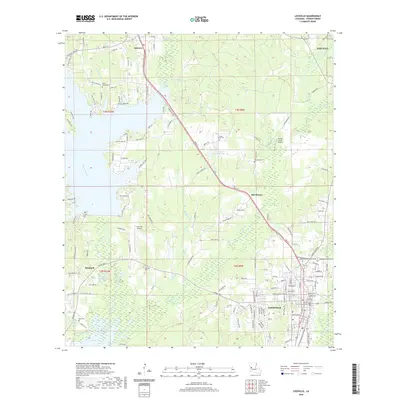
Historical Maps of Leesville Through Time
14 maps found
1941 Leesville
Vernon Parish, LA
1943 Leesville
Vernon Parish, LA
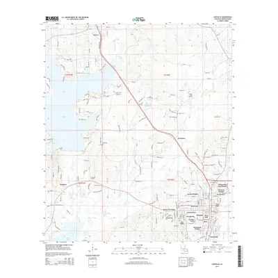
1946 Leesville
Vernon Parish, LA
1948 Leesville
Vernon Parish, LA
1954 Leesville
Vernon Parish, LA
1954 Leesville
Vernon Parish, LA
1957 Leesville
Vernon Parish, LA

1986 Leesville
Vernon Parish, LA
1994 Leesville
Vernon Parish, LA
2012 Leesville
Vernon Parish, LA
2015 Leesville
Vernon Parish, LA
2018 Leesville
Vernon Parish, LA
2020 Leesville
Vernon Parish, LA
2024 Leesville
Vernon Parish, LA