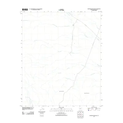
2011 Map of Belmont Mountain
USGS Topo · Published 2011About this map
Belmont Mountain and the broader Belmont Mountains range anchor this arid landscape in Maricopa County, characterized by a complex network of ephemeral drainages. The map reveals the vital role of water management in this desert environment through features like Owl Tank and Twin Tanks. The intersection of N Aguila Rd and Vulture Mine Rd points to the area's industrial legacy, with the latter leading toward historical mining operations beyond the quadrangle's borders.
Find a feature on this map
15 named features on this map. Tap any name to fly to it.
Don’t see what you’re looking for? This feature index may not catch every label — zoom into the map to look around manually.
Map Details
Editions of this 2011 Belmont Mountain Map
This is the sole edition of this map. No revisions or reprints were ever made.
Other maps of this area
1942 · Vicksburg
USGS Topo · 1:250,000
1954 · Phoenix
USGS Topo · 1:250,000
1957 · Phoenix
USGS Topo · 1:250,000
1958 · Phoenix
USGS Topo · 1:250,000
1960 · Phoenix
USGS Topo · 1:250,000
1961 · Vulture Mountains
USGS Topo · 1:62,500
1961 · Big Horn Mts
USGS Topo · 1:62,500
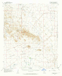
1962 · Belmont Mts
USGS Topo · 1:62,500
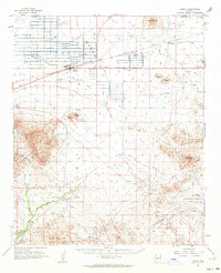
1962 · Aguila
USGS Topo · 1:62,500
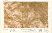
1969 · Phoenix
USGS Topo · 1:250,000