
1961 Map of Big Horn Mts
USGS Topo · Published 1963About this map
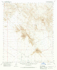
Big Horn Mountains dominate this early 1960s landscape, a region defined by scattered mineral claims and isolated ranching outposts. The northern reaches are particularly dense with mining history, featuring the Black Queen Mine, Mollie Davenport Mine, and the Black Rock Mine. These small-scale operations are linked by an intricate network of jeep trails and tracks that cut through the desert floor near Dead Horse Wash and Woodchopper Wash.
Find a feature on this map
43 named features on this map. Tap any name to fly to it.
Don’t see what you’re looking for? This feature index may not catch every label — zoom into the map to look around manually.
Map Details
Editions of this 1961 Big Horn Mts Map
3 editions found
Other maps of this area

1942 · Vicksburg
USGS Topo · 1:250,000

1954 · Phoenix
USGS Topo · 1:250,000

1957 · Phoenix
USGS Topo · 1:250,000

1958 · Phoenix
USGS Topo · 1:250,000

1960 · Phoenix
USGS Topo · 1:250,000

1961 · Lone Mountain
USGS Topo · 1:62,500

1961 · Vulture Mountains
USGS Topo · 1:62,500

1961 · Gladden
USGS Topo · 1:62,500

1962 · Belmont Mts
USGS Topo · 1:62,500

1962 · Cortez Peak
USGS Topo · 1:62,500