
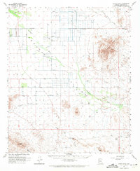
1962 Map of Cortez Peak
USGS Topo · Published 1964About this map
The Harquahala Mountains and Saddle Mountain dominate this mid-century desert landscape, where water management is the primary driver of human settlement. Scattered agricultural operations like Centennial Farms and the Desert-Ho Ranch rely on a network of water sources, including the Big Horn Well and Parker Well, alongside a prominent Aqueduct and pipeline. The land use pattern reflects a mix of ranching and early mineral exploration, particularly evident in the eastern peaks.
Find a feature on this map
36 named features on this map. Tap any name to fly to it.
Don’t see what you’re looking for? This feature index may not catch every label — zoom into the map to look around manually.
Map Details
Editions of this 1962 Cortez Peak Map
2 editions found
Other maps of this area

1927 · Hyder
USGS Topo · 1:62,500

1930 · Hyder
USGS Topo · 1:62,500

1942 · Vicksburg
USGS Topo · 1:250,000

1951 · Dendora Valley
USGS Topo · 1:62,500

1951 · Woolsey Peak
USGS Topo · 1:62,500

1954 · Phoenix
USGS Topo · 1:250,000

1957 · Phoenix
USGS Topo · 1:250,000

1958 · Phoenix
USGS Topo · 1:250,000

1960 · Phoenix
USGS Topo · 1:250,000

1961 · Lone Mountain
USGS Topo · 1:62,500