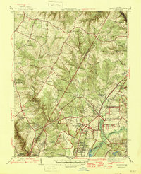
1945 Map of Beltsville
USGS Topo · Published 1945About this map
The National Agricultural Research Center and the Horticultural Station dominate the landscape of northern Prince George's County during the mid-1940s, highlighting the region's importance to federal scientific study. This survey reveals a transition from agrarian roots to institutional growth, with significant educational landmarks such as Xaverian College, Friarley Military Academy, and the Ammerdale Normal B M Institute clustered near the Baltimore Ohio railroad line.
Find a feature on this map
68 named features on this map. Tap any name to fly to it.
Don’t see what you’re looking for? This feature index may not catch every label — zoom into the map to look around manually.
Map Details
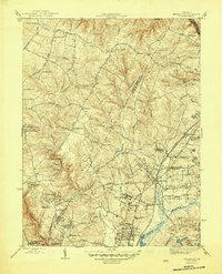
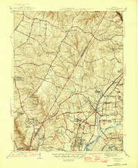
Editions of this 1945 Beltsville Map
3 editions found
Other maps of this area

1890 · Mt. Vernon
USGS Topo · 1:125,000

1891 · Mt. Vernon
USGS Topo · 1:125,000

1892 · Laurel
USGS Topo · 1:62,500

1893 · Frederick
USGS Topo · 1:125,000

1894 · Laurel
USGS Topo · 1:62,500

1894 · Frederick
USGS Topo · 1:125,000

1894 · Mt. Vernon
USGS Topo · 1:125,000

1897 · Laurel
USGS Topo · 1:62,500

1897 · Mt. Vernon
USGS Topo · 1:125,000

1899 · Patuxent
USGS Topo · 1:125,000