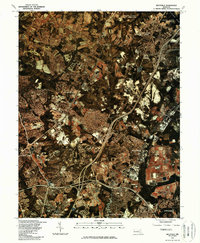
1981 Map of Beltsville
USGS Topo · Published 1986About this map
The Patuxent River corridor and the Rocky Gorge Reservoir anchor the northern landscape of this orthophotoquad, where suburban expansion meets the Piedmont's water systems. In the early 1980s, the intensifying development between Washington, D.C. and Baltimore is evident in the dense residential clusters of Beltsville and Greenbelt. This unique imagery, prepared from color infrared photographs by the Soil Conservation Service, highlights the contrast between the wooded estates of West Laurel Acres and the major highway interchanges that define the region's commuter identity. Significant institutional and residential footprints are visible across College Park and Adelphi, while the eastern edges of White Oak and Fairland show the rapid conversion of open land into modern suburban infrastructure.
Find a feature on this map
10 named features on this map. Tap any name to fly to it.
Don’t see what you’re looking for? This feature index may not catch every label — zoom into the map to look around manually.
Map Details
Editions of this 1981 Beltsville Map
This is the sole edition of this map. No revisions or reprints were ever made.
Other maps of this area

1890 · Mt. Vernon
USGS Topo · 1:125,000

1891 · Mt. Vernon
USGS Topo · 1:125,000

1892 · Laurel
USGS Topo · 1:62,500

1893 · Frederick
USGS Topo · 1:125,000

1894 · Laurel
USGS Topo · 1:62,500

1894 · Frederick
USGS Topo · 1:125,000

1894 · Mt. Vernon
USGS Topo · 1:125,000

1897 · Laurel
USGS Topo · 1:62,500

1897 · Mt. Vernon
USGS Topo · 1:125,000

1899 · Patuxent
USGS Topo · 1:125,000