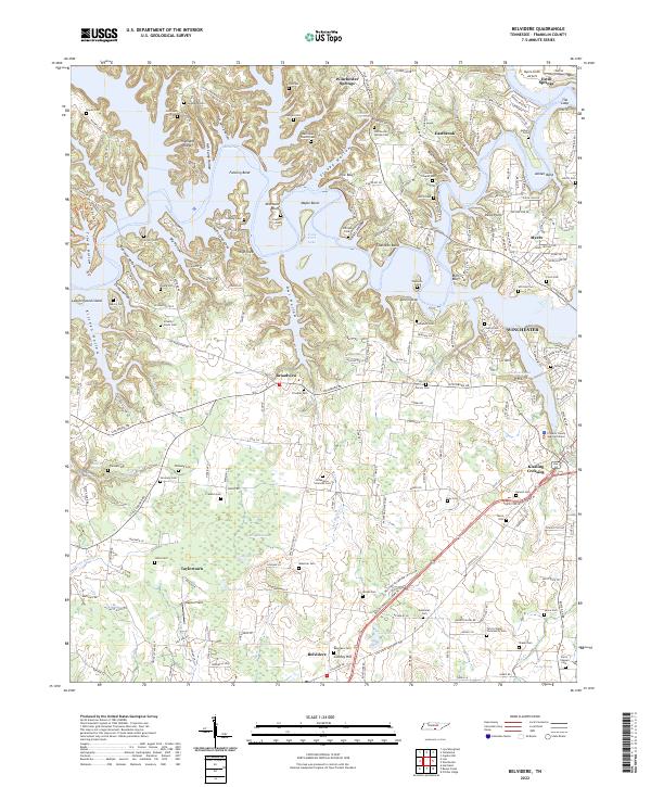
2022 Map of Belvidere
USGS Topo · Published 2022About this map
Tims Ford Lake dominates the upper half of this landscape, its complex shoreline winding around peninsulas like Fanning Bend and Shasteen Bend. The terrain is defined by a series of bluffs and hollows, including Mitchells Bluff and Sleepy Hollow, which give way to the more level agricultural lands near Belvidere and Taylortown. To the south, the extensive Mingo Swamp and Mingo Pond create a distinct wetland environment contrasting with the higher elevations of Highland Ridge.
Find a feature on this map
89 named features on this map. Tap any name to fly to it.
Don’t see what you’re looking for? This feature index may not catch every label — zoom into the map to look around manually.
Map Details
Editions of this 2022 Belvidere Map
This is the sole edition of this map. No revisions or reprints were ever made.
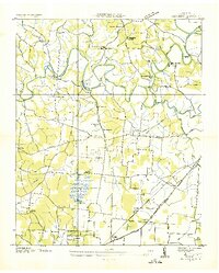
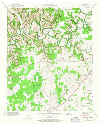
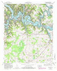
Historical Maps of Broadview Through Time
4 maps found