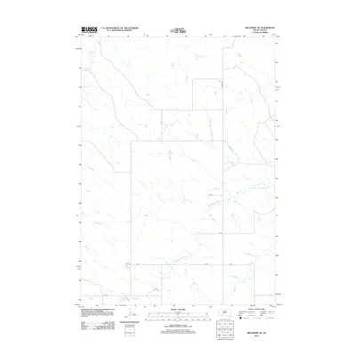
2012 Map of Belvidere NE
USGS Topo · Published 2012About this map
The W Fork Brave Bull Cr and Indian Cr drain this expansive prairie landscape in Jackson County. This 2012 survey reveals a sparse network of section-line roads and named routes such as Ottumwa Rd that connect isolated rural homesteads and ranching tracts. The region's geography is defined by the winding drainages of the W Fork Brave Bull Cr, which cut through the open grasslands of the northern plains. This map is particularly useful for identifying the precise locations of small reservoirs and ponds that support local livestock, as well as the naming conventions of the county's road system, including CS 11, CS 10, and CS 9.
Find a feature on this map
12 named features on this map. Tap any name to fly to it.
Don’t see what you’re looking for? This feature index may not catch every label — zoom into the map to look around manually.
Map Details
Editions of this 2012 Belvidere NE Map
This is the sole edition of this map. No revisions or reprints were ever made.
Other maps of this area

1951 · Stamford SW
USGS Topo · 1:24,000

1951 · Belvidere
USGS Topo · 1:24,000

1951 · Belvidere SW
USGS Topo · 1:24,000

1953 · Belvidere NE
USGS Topo · 1:24,000

1954 · Belvidere NW
USGS Topo · 1:24,000

1954 · Powell
USGS Topo · 1:24,000

1954 · Midland
USGS Topo · 1:24,000

1954 · Nowlin
USGS Topo · 1:24,000

1954 · Pierre
USGS Topo · 1:250,000

1955 · Martin
USGS Topo · 1:250,000