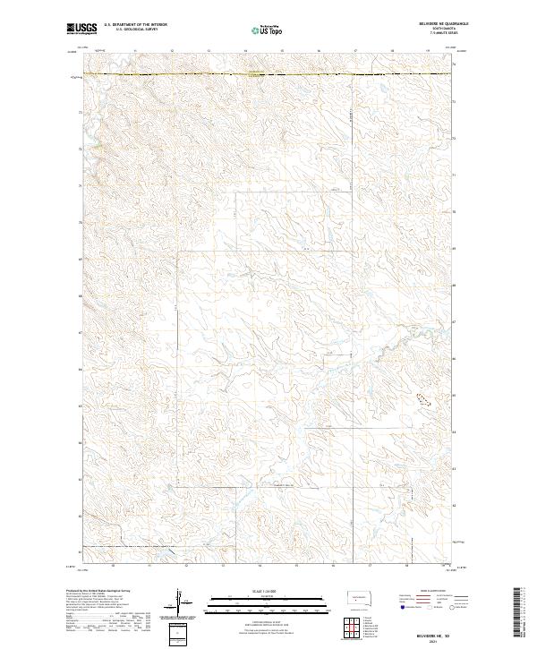
2021 Map of Belvidere NE
USGS Topo · Published 2021About this map
The boundary between Haakon County and Jackson County divides this high plains terrain, where the headwaters of the W Fork Brave Bull Cr and Indian Cr carve a complex network of drainage patterns through the prairie. This landscape is defined by the Public Land Survey System, with the grid of townships like t1s r23e and t1n r24e overlaying a rugged topography of draws and ridges. Human presence is marked primarily by isolated infrastructure such as Community Well Rd and 235th St, reflecting the sparse ranching and grazing economy of this section of South Dakota. The survey provides a clear view of the geographic isolation and the critical importance of water access in the drainage basins of the Bad River watershed during the early twenty-first century.
Find a feature on this map
11 named features on this map. Tap any name to fly to it.
Don’t see what you’re looking for? This feature index may not catch every label — zoom into the map to look around manually.
Map Details
Editions of this 2021 Belvidere NE Map
This is the sole edition of this map. No revisions or reprints were ever made.
Other maps of this area

1951 · Stamford SW
USGS Topo · 1:24,000

1951 · Belvidere
USGS Topo · 1:24,000

1951 · Belvidere SW
USGS Topo · 1:24,000

1953 · Belvidere NE
USGS Topo · 1:24,000

1954 · Belvidere NW
USGS Topo · 1:24,000

1954 · Powell
USGS Topo · 1:24,000

1954 · Midland
USGS Topo · 1:24,000

1954 · Nowlin
USGS Topo · 1:24,000

1954 · Pierre
USGS Topo · 1:250,000

1955 · Martin
USGS Topo · 1:250,000