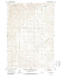
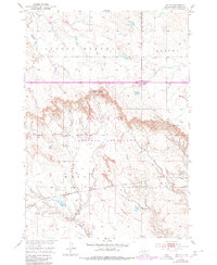
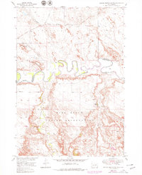
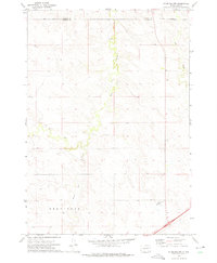
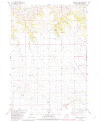
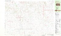
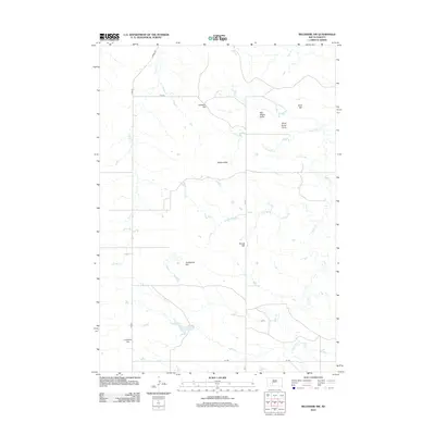
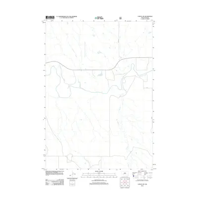
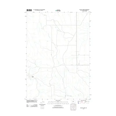
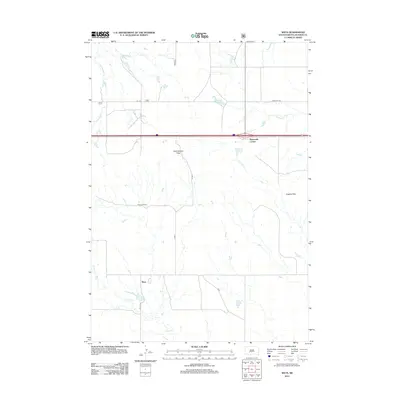
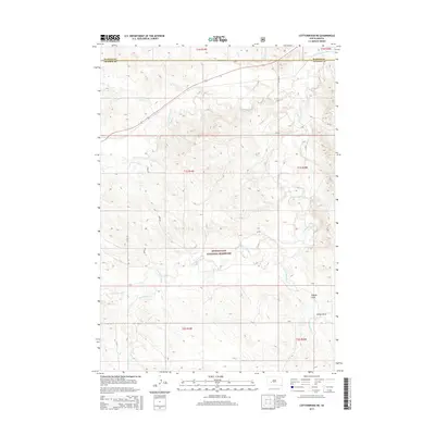
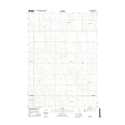
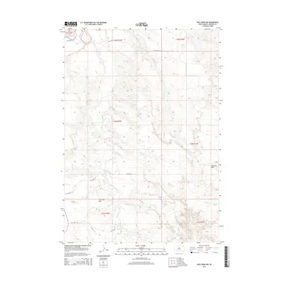
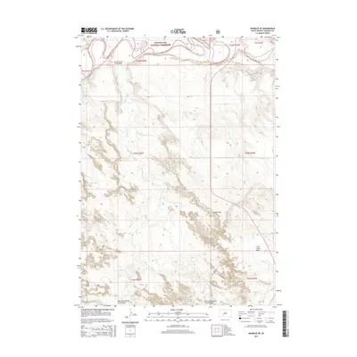
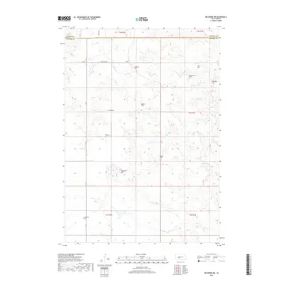
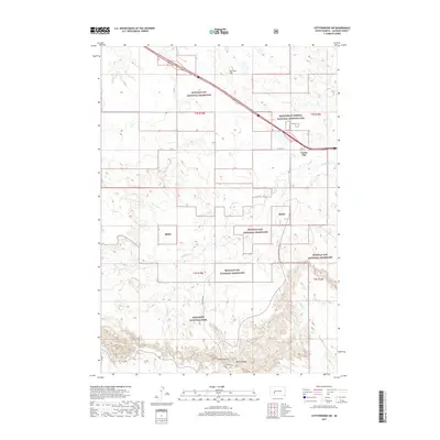
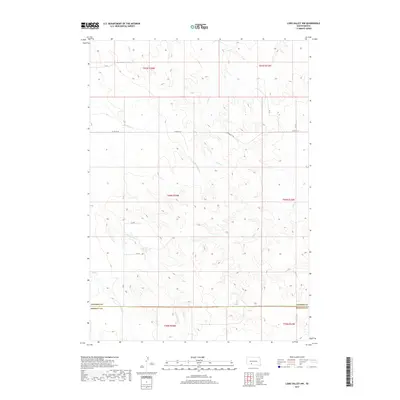
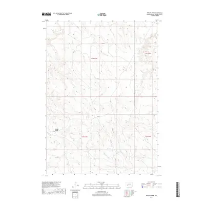
1953 Map of Belvidere NE
USGS Topo · Published 1987About this map
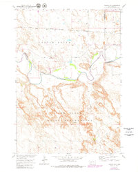
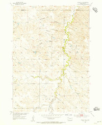
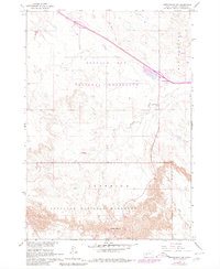
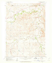
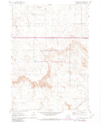
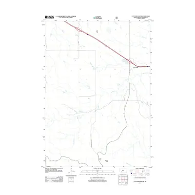
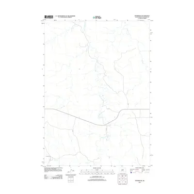
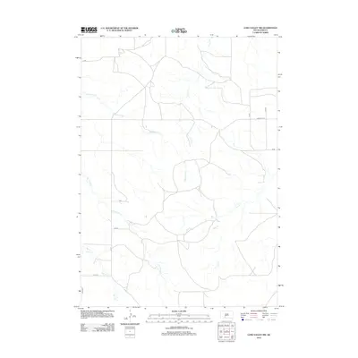
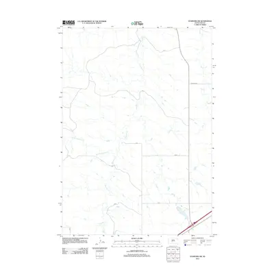
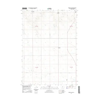
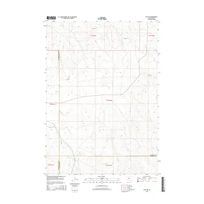
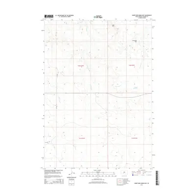
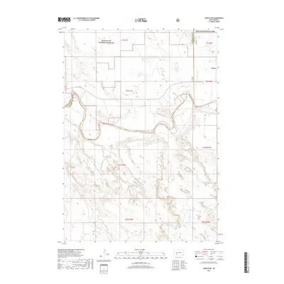
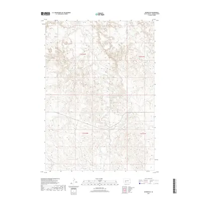
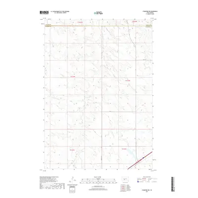
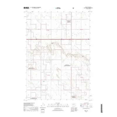
Indian Creek and its various tributaries, including the Bull Brave Fork and West Fork, dominate this mid-century prairie landscape along the county line between Haakon County and Jackson County. The area reflects a sparse, rural settlement pattern defined by isolated educational outposts and basic water management infrastructure. Local life in this era centered on widely distributed community markers, notably the Highland Center Sch and the North Rural Sch, which served families across the open range. The transition of the land is evident near the center of the sheet, where the Harris Sch is already noted as abandoned by the early 1950s. Near the southern edge of the survey, Winne Dam represents a critical piece of water infrastructure for the development of the Missouri River Basin, anchoring the local agricultural economy in a region where reliable water sources were essential for survival.
Find a feature on this map
10 named features on this map. Tap any name to fly to it.
Don’t see what you’re looking for? This feature index may not catch every label — zoom into the map to look around manually.
Map Details
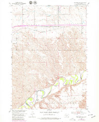
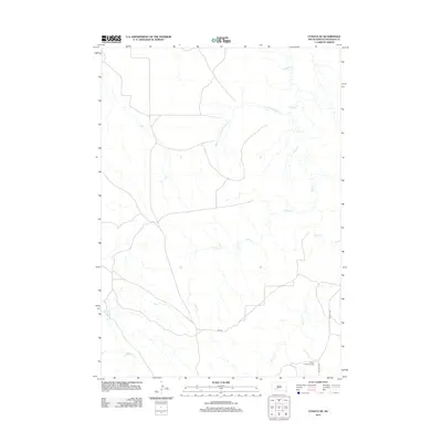
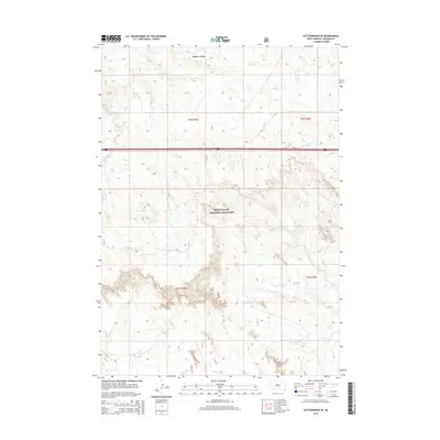
Editions of this 1953 Belvidere NE Map
2 editions found
Historical Maps of Haakon County Through Time
145 maps found
1950 Interior SE
Jackson County, SD
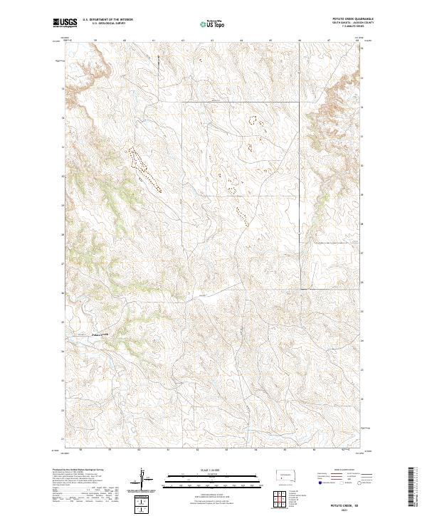
1950 Potato Creek
Jackson County, SD
1950 Weta
Jackson County, SD
1951 Belvidere SW
Jackson County, SD
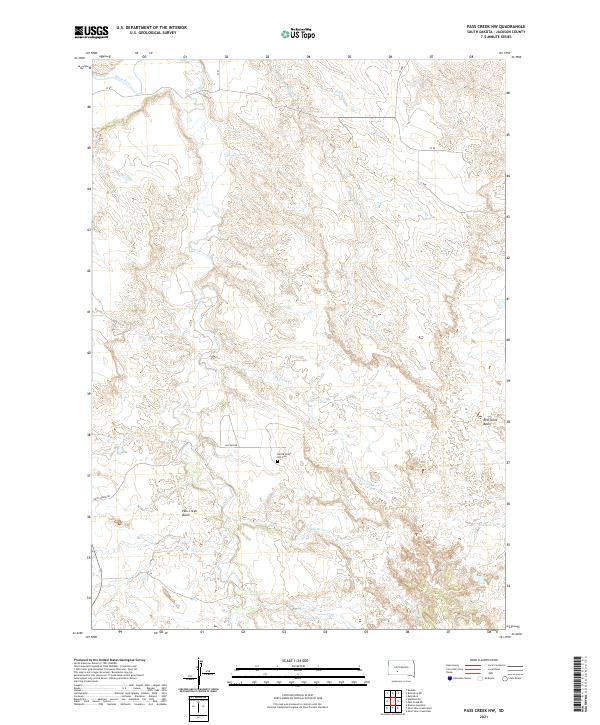
1951 Pass Creek NE
Jackson County, SD
1951 Pass Creek NW
Jackson County, SD
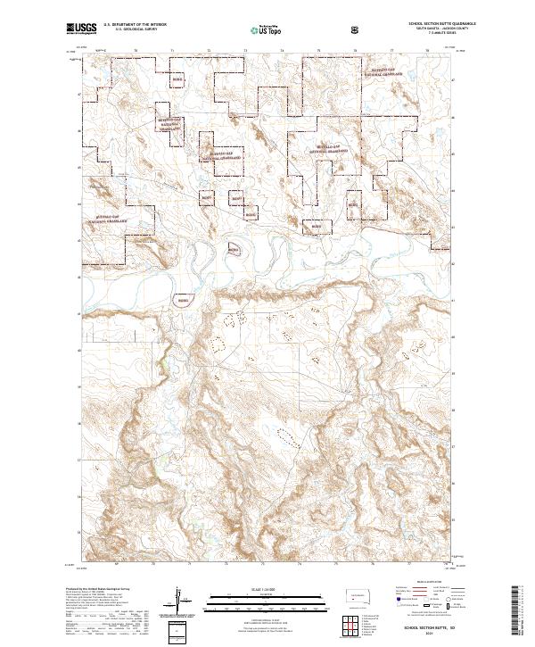
1951 School Section Butte
Jackson County, SD
1951 Stamford SW
Jackson County, SD
1951 Wanblee NE
Jackson County, SD
1951 Wanblee NW
Jackson County, SD
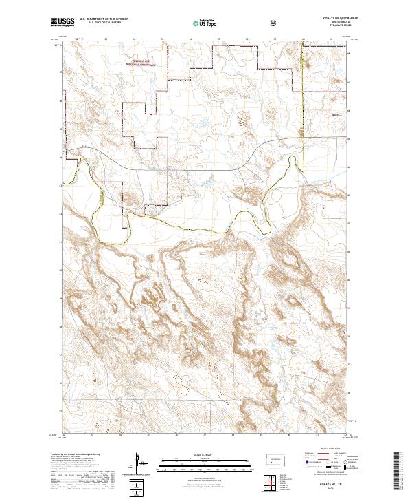
1952 Conata NE
Jackson County, SD
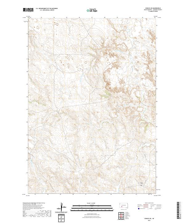
1952 Conata SE
Jackson County, SD
1953 Belvidere NE
Jackson County, SD
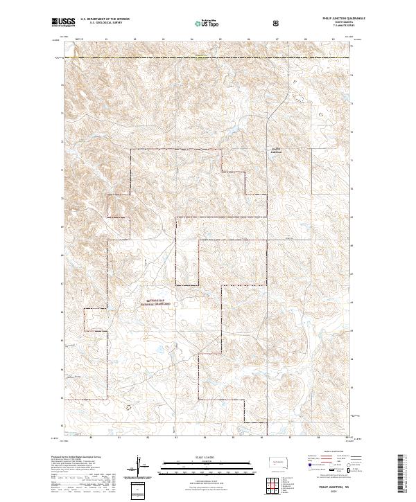
1953 Philip Junction
Jackson County, SD
1954 Belvidere NW
Jackson County, SD
1954 Kadoka NE
Jackson County, SD
1960 Cottonwood SW
Jackson County, SD
1961 Cottonwood NE
Jackson County, SD
1961 Cottonwood SE
Jackson County, SD
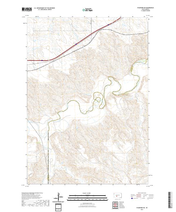
1972 Stamford NW
Jackson County, SD
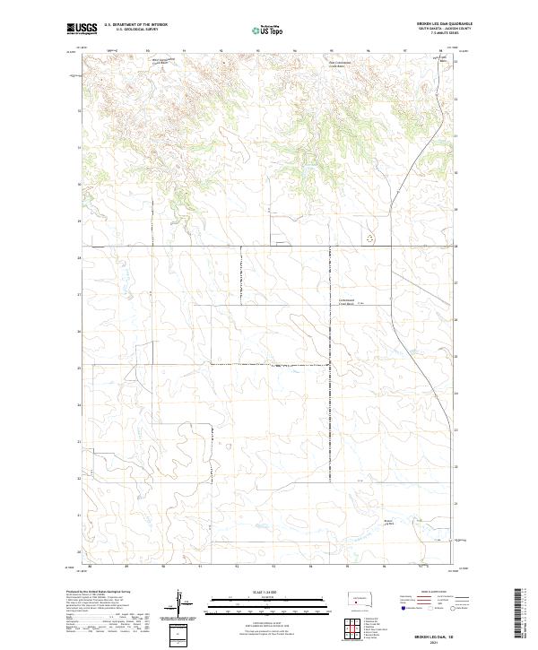
1981 Broken Leg Dam
Jackson County, SD

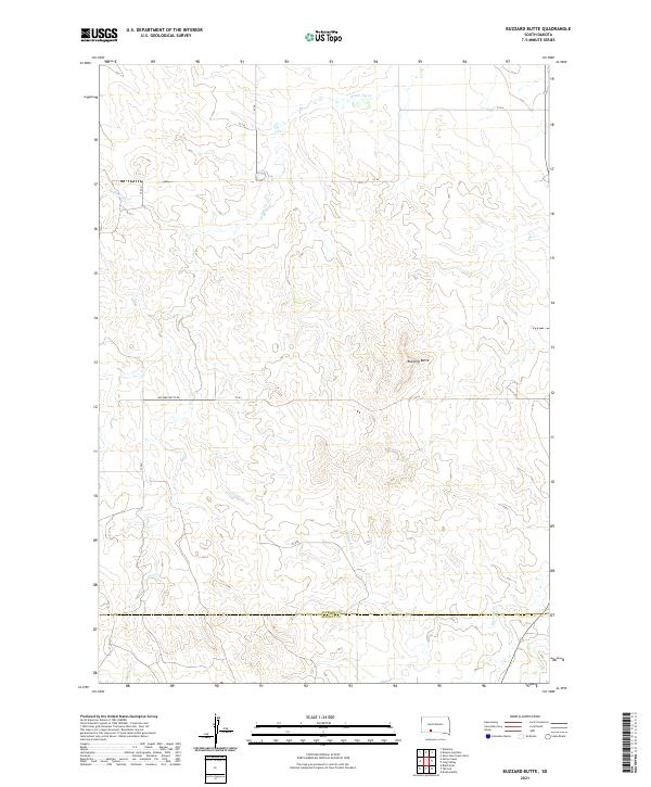
1981 Buzzard Butte
Jackson County, SD

1981 Hisle
Jackson County, SD

1981 Long Valley
Jackson County, SD
1981 Short Bow Creek
Jackson County, SD
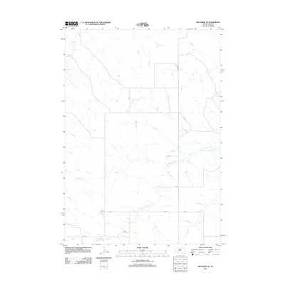
2012 Belvidere NE
Jackson County, SD
2012 Belvidere NW
Jackson County, SD
2012 Belvidere SW
Jackson County, SD
2012 Broken Leg Dam
Jackson County, SD
2012 Buzzard Butte
Jackson County, SD
2012 Conata NE
Jackson County, SD
2012 Conata SE
Jackson County, SD
2012 Cottonwood NE
Jackson County, SD
2012 Cottonwood SE
Jackson County, SD
2012 Cottonwood SW
Jackson County, SD
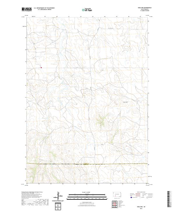
2012 Hisle
Jackson County, SD
2012 Hisle NW
Jackson County, SD
2012 Horse Creek
Jackson County, SD
2012 Interior SE
Jackson County, SD
2012 Kadoka NE
Jackson County, SD
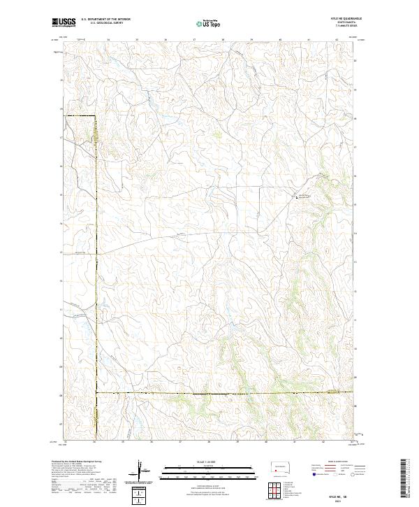
2012 Kyle NE
Jackson County, SD
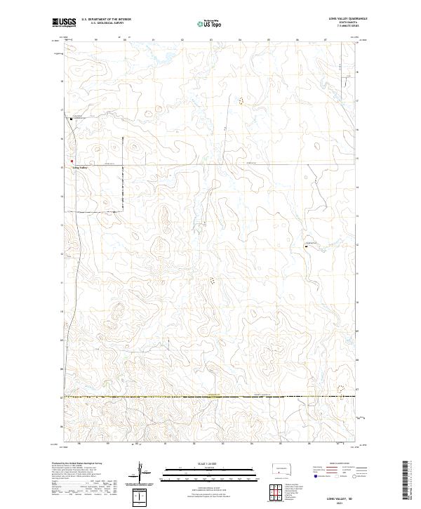
2012 Long Valley
Jackson County, SD
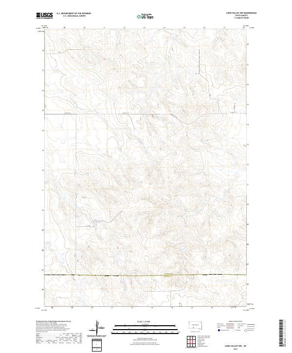
2012 Long Valley NW
Jackson County, SD
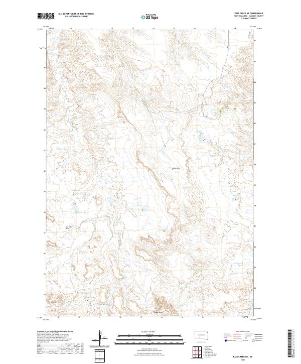
2012 Pass Creek NE
Jackson County, SD
2012 Pass Creek NW
Jackson County, SD
2012 Philip Junction
Jackson County, SD
2012 Potato Creek
Jackson County, SD
2012 School Section Butte
Jackson County, SD
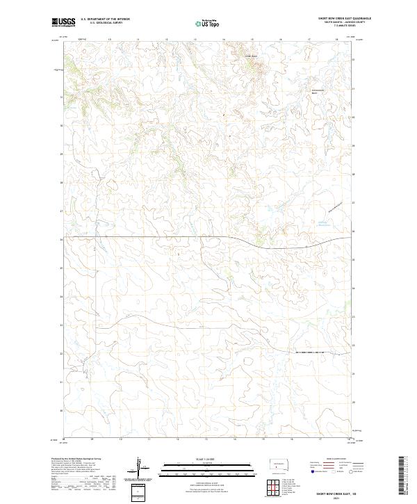
2012 Short Bow Creek East
Jackson County, SD
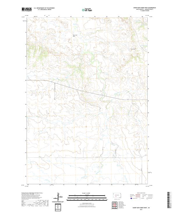
2012 Short Bow Creek West
Jackson County, SD
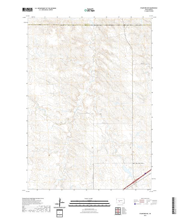
2012 Stamford NW
Jackson County, SD
2012 Stamford SW
Jackson County, SD
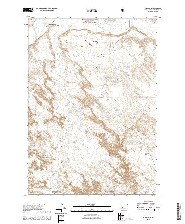
2012 Wanblee NE
Jackson County, SD
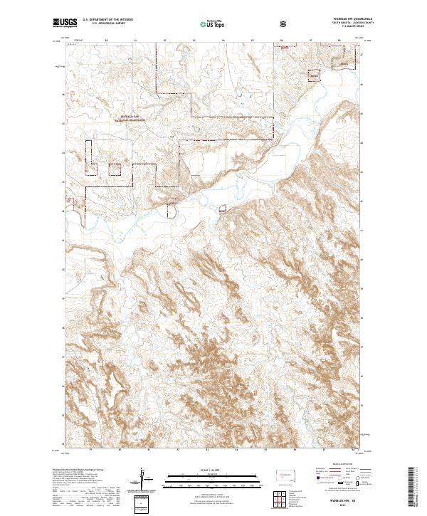
2012 Wanblee NW
Jackson County, SD
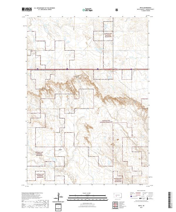
2012 Weta
Jackson County, SD
2015 Belvidere NE
Jackson County, SD
2015 Belvidere NW
Jackson County, SD
2015 Belvidere SW
Jackson County, SD
2015 Broken Leg Dam
Jackson County, SD
2015 Buzzard Butte
Jackson County, SD
2015 Conata NE
Jackson County, SD
2015 Conata SE
Jackson County, SD
2015 Cottonwood NE
Jackson County, SD
2015 Cottonwood SE
Jackson County, SD
2015 Cottonwood SW
Jackson County, SD
2015 Hisle
Jackson County, SD
2015 Hisle NW
Jackson County, SD
2015 Horse Creek
Jackson County, SD
2015 Interior SE
Jackson County, SD
2015 Kadoka NE
Jackson County, SD
2015 Kyle NE
Jackson County, SD
2015 Long Valley
Jackson County, SD
2015 Long Valley NW
Jackson County, SD
2015 Pass Creek NE
Jackson County, SD
2015 Pass Creek NW
Jackson County, SD
2015 Philip Junction
Jackson County, SD
2015 Potato Creek
Jackson County, SD
2015 School Section Butte
Jackson County, SD
2015 Short Bow Creek East
Jackson County, SD
2015 Short Bow Creek West
Jackson County, SD
2015 Stamford NW
Jackson County, SD
2015 Stamford SW
Jackson County, SD
2015 Wanblee NE
Jackson County, SD
2015 Wanblee NW
Jackson County, SD
2015 Weta
Jackson County, SD
2017 Belvidere NE
Jackson County, SD
2017 Belvidere NW
Jackson County, SD
2017 Belvidere SW
Jackson County, SD
2017 Broken Leg Dam
Jackson County, SD
2017 Buzzard Butte
Jackson County, SD
2017 Conata NE
Jackson County, SD
2017 Conata SE
Jackson County, SD
2017 Cottonwood NE
Jackson County, SD
2017 Cottonwood SE
Jackson County, SD
2017 Cottonwood SW
Jackson County, SD
2017 Hisle
Jackson County, SD
2017 Hisle NW
Jackson County, SD
2017 Horse Creek
Jackson County, SD
2017 Interior SE
Jackson County, SD
2017 Kadoka NE
Jackson County, SD
2017 Kyle NE
Jackson County, SD
2017 Long Valley
Jackson County, SD
2017 Long Valley NW
Jackson County, SD
2017 Pass Creek NE
Jackson County, SD
2017 Pass Creek NW
Jackson County, SD
2017 Philip Junction
Jackson County, SD
2017 Potato Creek
Jackson County, SD
2017 School Section Butte
Jackson County, SD
2017 Short Bow Creek East
Jackson County, SD
2017 Short Bow Creek West
Jackson County, SD
2017 Stamford NW
Jackson County, SD
2017 Stamford SW
Jackson County, SD
2017 Wanblee NE
Jackson County, SD
2017 Wanblee NW
Jackson County, SD
2017 Weta
Jackson County, SD
2021 Belvidere NE
Jackson County, SD
2021 Belvidere NW
Jackson County, SD
2021 Belvidere SW
Jackson County, SD
2021 Broken Leg Dam
Jackson County, SD
2021 Buzzard Butte
Jackson County, SD
2021 Conata NE
Jackson County, SD
2021 Conata SE
Jackson County, SD
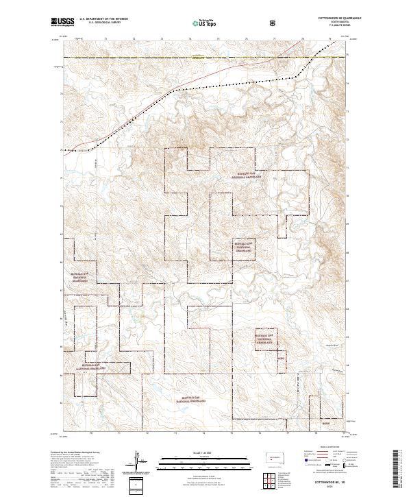
2021 Cottonwood NE
Jackson County, SD
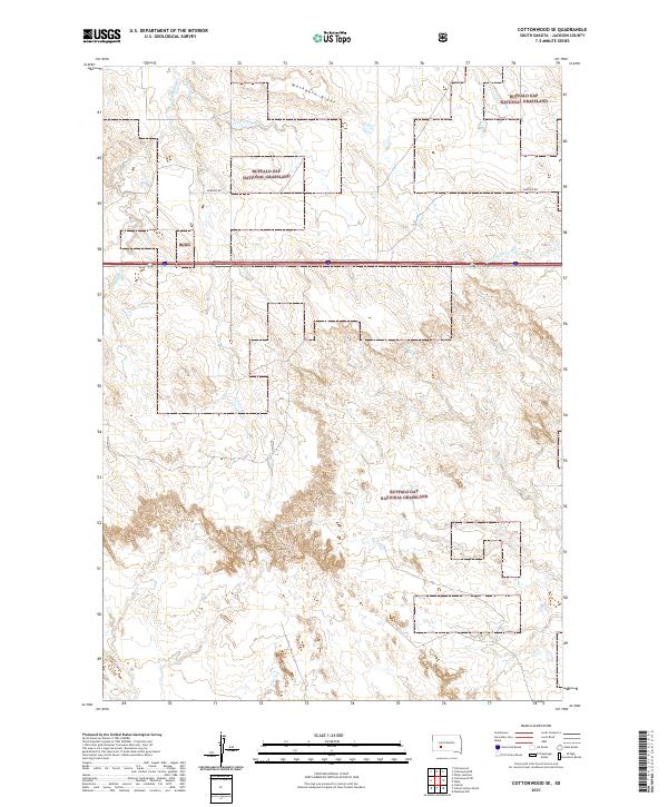
2021 Cottonwood SE
Jackson County, SD
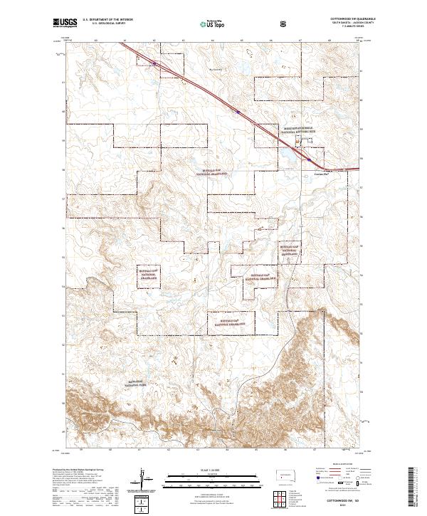
2021 Cottonwood SW
Jackson County, SD
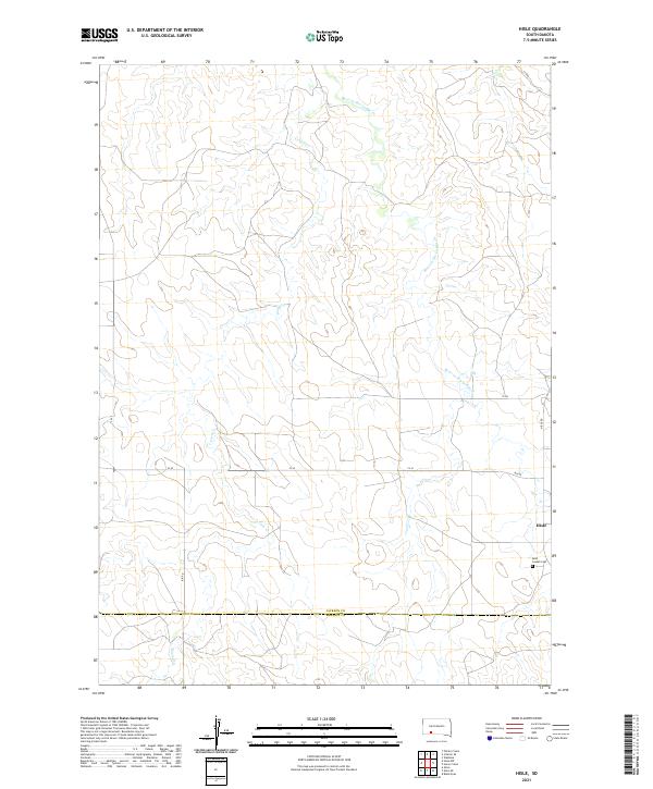
2021 Hisle
Jackson County, SD
2021 Hisle NW
Jackson County, SD
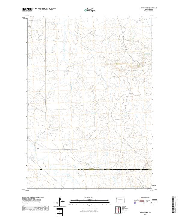
2021 Horse Creek
Jackson County, SD
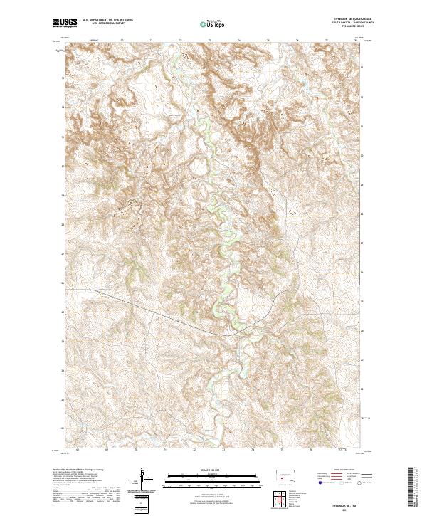
2021 Interior SE
Jackson County, SD
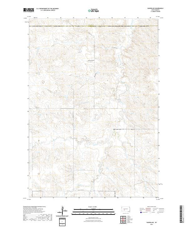
2021 Kadoka NE
Jackson County, SD
2021 Kyle NE
Jackson County, SD
2021 Long Valley
Jackson County, SD
2021 Long Valley NW
Jackson County, SD
2021 Pass Creek NE
Jackson County, SD
2021 Pass Creek NW
Jackson County, SD
2021 Philip Junction
Jackson County, SD
2021 Potato Creek
Jackson County, SD
2021 School Section Butte
Jackson County, SD
2021 Short Bow Creek East
Jackson County, SD
2021 Short Bow Creek West
Jackson County, SD
2021 Stamford NW
Jackson County, SD
2021 Stamford SW
Jackson County, SD
2021 Wanblee NE
Jackson County, SD
2021 Wanblee NW
Jackson County, SD
2021 Weta
Jackson County, SD