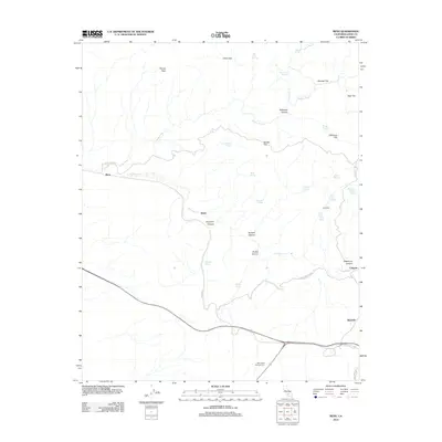
2012 Map of Bena
USGS Topo · Published 2012About this map
The Bakersfield National Cem serves as a modern landmark in this corner of Kern County, situated south of the rugged drainage systems that define the local geography. The landscape is characterized by a series of flats and canyons, including Reader Flat, Mundgi Flat, and the deep cut of Tollhouse Canyon. Small settlements and sidings like Bena, Ilmon, and Bealville follow the rail and road corridors, while the town of Caliente sits at the eastern edge of the quadrangle. Numerous water sources, such as Rattlesnake Spring and Billy Spring, suggest the historical importance of water management for ranching and transit in this semi-arid environment. Higher elevations are marked by Pampa Peak, overlooking a complex network of seasonal washes like Walker Basin Cr and Caliente Cr that have shaped the territory's transport routes over generations.
Find a feature on this map
40 named features on this map. Tap any name to fly to it.
Don’t see what you’re looking for? This feature index may not catch every label — zoom into the map to look around manually.
Map Details
Editions of this 2012 Bena Map
This is the sole edition of this map. No revisions or reprints were ever made.
Other maps of this area

1914 · Caliente
USGS Topo · 1:125,000

1929 · Bena
USGS Topo · 1:31,680

1930 · Bear Mountain
USGS Topo · 1:31,680

1930 · Arvin
USGS Topo · 1:31,680

1931 · Edison
USGS Topo · 1:31,680

1932 · Bena
USGS Topo · 1:31,680

1933 · Arvin
USGS Topo · 1:31,680

1933 · Bear Mountain
USGS Topo · 1:31,680

1943 · Cummings Mountain
USGS Topo · 1:62,500

1943 · Breckenridge Mountain
USGS Topo · 1:62,500