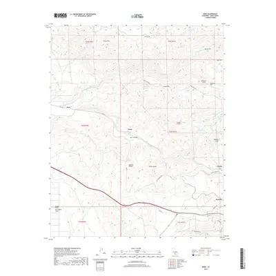
2018 Map of Bena
USGS Topo · Published 2018About this map
Bena and Ilmon sit along the winding corridor of Bena RD, marking the transition where the San Joaquin Valley meets the rising elevations of the Sierra Nevada. This 2018 survey documents a rugged landscape defined by its vital water sources, including numerous named springs such as Rattlesnake Spring and Hog Camp Spring, which historically supported livestock and travelers in this arid part of Kern County.
Find a feature on this map
50 named features on this map. Tap any name to fly to it.
Don’t see what you’re looking for? This feature index may not catch every label — zoom into the map to look around manually.
Map Details
Editions of this 2018 Bena Map
This is the sole edition of this map. No revisions or reprints were ever made.
Other maps of this area

1914 · Caliente
USGS Topo · 1:125,000

1929 · Bena
USGS Topo · 1:31,680

1930 · Bear Mountain
USGS Topo · 1:31,680

1930 · Arvin
USGS Topo · 1:31,680

1931 · Edison
USGS Topo · 1:31,680

1932 · Bena
USGS Topo · 1:31,680

1933 · Arvin
USGS Topo · 1:31,680

1933 · Bear Mountain
USGS Topo · 1:31,680

1943 · Cummings Mountain
USGS Topo · 1:62,500

1943 · Breckenridge Mountain
USGS Topo · 1:62,500