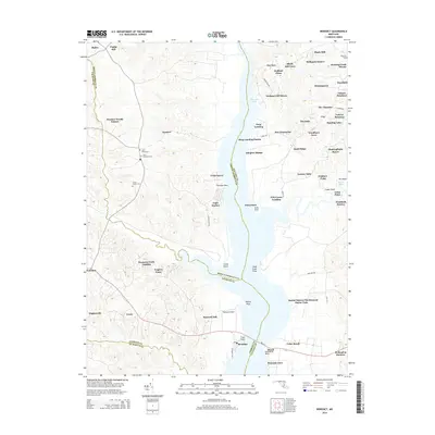
2014 Map of Benedict
USGS Topo · Published 2014About this map
Aquasco and Eagle Harbor sit on the western banks of the Patuxent River, anchoring a landscape where the river's winding course defines county boundaries and local commerce. The geography is marked by numerous riverfront landings and points, such as Swanson Creek Landing and Trueman Point, which once served as vital maritime links for this coastal region. The map reflects a deeply rooted community, documented through legacy burial grounds including Saint Marys Cem, Saint Dominics Cem, and Christ Church Cem near the town centers.
Find a feature on this map
75 named features on this map. Tap any name to fly to it.
Don’t see what you’re looking for? This feature index may not catch every label — zoom into the map to look around manually.
Map Details
Editions of this 2014 Benedict Map
This is the sole edition of this map. No revisions or reprints were ever made.
Other maps of this area

1892 · Leonardtown
USGS Topo · 1:62,500

1892 · Prince Frederick
USGS Topo · 1:62,500

1892 · Brandywine
USGS Topo · 1:62,500

1894 · Wicomico
USGS Topo · 1:62,500

1895 · Prince Frederick
USGS Topo · 1:62,500

1895 · Wicomico
USGS Topo · 1:62,500

1895 · Brandywine
USGS Topo · 1:62,500

1895 · Leonardtown
USGS Topo · 1:62,500

1895 · Nomini
USGS Topo · 1:125,000

1898 · Nomini
USGS Topo · 1:125,000