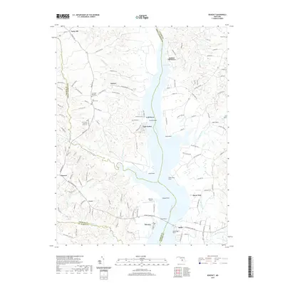
2019 Map of Benedict
USGS Topo · Published 2019About this map
The Patuxent River defines this portion of Southern Maryland, serving as the border between Prince George's and Calvert Counties. On the western bank, the town of Aquasco sits near several historic faith-based sites, including the Saint Marys Episcopal Chapel and Saint Dominic, each with an associated cemetery. Further south, the map reveals the layout of Eagle Harbor and the riverfront at Chalk Point, an area dominated by energy infrastructure and coastal landings.
Find a feature on this map
137 named features on this map. Tap any name to fly to it.
Don’t see what you’re looking for? This feature index may not catch every label — zoom into the map to look around manually.
Map Details
Editions of this 2019 Benedict Map
This is the sole edition of this map. No revisions or reprints were ever made.
Other maps of this area

1892 · Leonardtown
USGS Topo · 1:62,500

1892 · Prince Frederick
USGS Topo · 1:62,500

1892 · Brandywine
USGS Topo · 1:62,500

1894 · Wicomico
USGS Topo · 1:62,500

1895 · Prince Frederick
USGS Topo · 1:62,500

1895 · Wicomico
USGS Topo · 1:62,500

1895 · Brandywine
USGS Topo · 1:62,500

1895 · Leonardtown
USGS Topo · 1:62,500

1895 · Nomini
USGS Topo · 1:125,000

1898 · Nomini
USGS Topo · 1:125,000