
1941 Map of Benezette
USGS Topo · Published 1952About this map
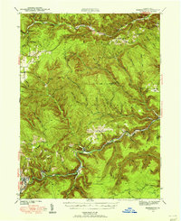
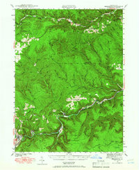
Elk State Forest dominates this landscape, where the winding waters of Sinnemahoning Creek and Bennett Branch dictate the placement of early 20th-century settlements. Surveyed in 1941, the map captures a rural Pennsylvania economy tied to the rail lines that snake through narrow valleys, including the Pennsylvania RR and the Baltimore and Ohio RR. Small communities like Benezette, Medix Run, and Weedville serve as focal points for local life, supported by numerous country schools such as Rathbun Sch and Whittimore Sch.
Find a feature on this map
72 named features on this map. Tap any name to fly to it.
Don’t see what you’re looking for? This feature index may not catch every label — zoom into the map to look around manually.
Map Details
Editions of this 1941 Benezette Map
3 editions found
Other maps of this area

1929 · Karthaus
USGS Topo · 1:62,500

1929 · Clearfield
USGS Topo · 1:48,000

1929 · Penfield
USGS Topo · 1:62,500

1932 · Clearfield
USGS Topo · 1:62,500

1932 · Penfield
USGS Topo · 1:62,500

1932 · Karthaus
USGS Topo · 1:62,500

1935 · Mt. Jewett
USGS Topo · 1:48,000

1940 · Mt. Jewett
USGS Topo · 1:62,500

1941 · Ridgway
USGS Topo · 1:62,500

1943 · Benezette
USGS Topo · 1:62,500