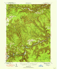
1941 Map of Benezette
USGS Topo · Published 1955About this map
Sinnemahoning Creek and its southern tributaries carve through this heavily forested portion of the Allegheny Plateau during the early 1940s. The settlement pattern follows the narrow valley floors, most notably at Benezette and Medix Run, where the Baltimore and Ohio Railroad and the Pennsylvania Railroad established critical transport corridors for the region's timber and coal resources. This survey captures a network of small, localized communities such as Weedville and Caledonia before significant post-war infrastructure changes.
Find a feature on this map
40 named features on this map. Tap any name to fly to it.
Don’t see what you’re looking for? This feature index may not catch every label — zoom into the map to look around manually.
Map Details
Editions of this 1941 Benezette Map
3 editions found
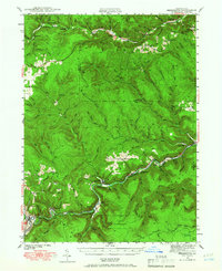
Other maps of this area

1929 · Karthaus
USGS Topo · 1:62,500

1929 · Clearfield
USGS Topo · 1:48,000

1929 · Penfield
USGS Topo · 1:62,500

1932 · Clearfield
USGS Topo · 1:62,500

1932 · Penfield
USGS Topo · 1:62,500

1932 · Karthaus
USGS Topo · 1:62,500

1935 · Mt. Jewett
USGS Topo · 1:48,000

1940 · Mt. Jewett
USGS Topo · 1:62,500

1941 · Benezette
USGS Topo · 1:62,500

1941 · Ridgway
USGS Topo · 1:62,500