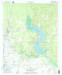
1975 Map of Benton
USGS Topo · Published 1978About this map
Benton serves as the focal point of this Bossier Parish landscape, appearing shortly after the 1974-1975 field check. The area is defined by the transformation of its waterways, most notably the sprawling Cypress Bayou Reservoir, which is shown with areas indicated to be submerged to the 185-foot elevation. This water management system, including the Cypress Bayou Dam and the adjacent Black Bayou Reservoir, reshaped the local environment east of the St Louis Southwestern railroad line.
Find a feature on this map
51 named features on this map. Tap any name to fly to it.
Don’t see what you’re looking for? This feature index may not catch every label — zoom into the map to look around manually.
Map Details
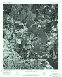
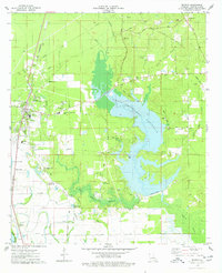
Editions of this 1975 Benton Map
3 editions found
Other maps of this area

1932 · Bossier SE
USGS Topo · 1:31,680

1932 · Bossier NE
USGS Topo · 1:31,680

1932 · Bossier SW
USGS Topo · 1:31,680

1932 · Shreveport SE
USGS Topo · 1:31,680

1932 · Hosston SE
USGS Topo · 1:31,680

1932 · Bossier NW
USGS Topo · 1:31,680

1932 · Shreveport NE
USGS Topo · 1:31,680

1948 · Mooringsport
USGS Topo · 1:62,500

1948 · Vivian
USGS Topo · 1:62,500

1948 · Bossier City
USGS Topo · 1:62,500