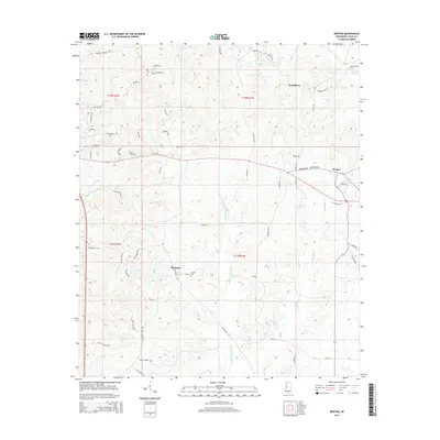
2015 Map of Benton
USGS Topo · Published 2015About this map
Benton and the surrounding agricultural landscapes of Yazoo County are defined by a network of rural routes and watercourses that reflect generations of land use. Significant local history centers on the namesake community of Woodlawn and the smaller Roadside junction, where local cemeteries such as Coopers Cem and Smith's Cem provide vital genealogical touchstones. The terrain is drained by the meandering Walesheba Cr and Little Walesheba Cr, which carve through the township and range divisions. Historical transit patterns are visible in the winding paths of Old Benton Rd and Fletchers Chapel Rd, which connect family-named landmarks like George Saxton Rd and Hanna Rd. This landscape, characterized by its creek bottoms and high ridges, maintains the traditional rural layout established long before the modern era.
Find a feature on this map
59 named features on this map. Tap any name to fly to it.
Don’t see what you’re looking for? This feature index may not catch every label — zoom into the map to look around manually.
Map Details
Editions of this 2015 Benton Map
This is the sole edition of this map. No revisions or reprints were ever made.
Other maps of this area

1955 · Jackson
USGS Topo · 1:250,000

1961 · Jackson
USGS Topo · 1:250,000

1961 · Canton
USGS Topo · 1:62,500

1961 · Valley
USGS Topo · 1:62,500

1962 · Jackson
USGS Topo · 1:250,000

1962 · Flora
USGS Topo · 1:62,500
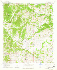
1964 · Zeiglerville
USGS Topo · 1:24,000

1964 · Linwood
USGS Topo · 1:24,000
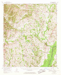
1966 · Vaughan
USGS Topo · 1:62,500

1984 · Yazoo City
USGS Topo · 1:100,000