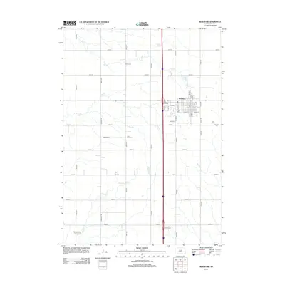
2012 Map of Beresford
USGS Topo · Published 2012About this map
Beresford serves as the primary hub of this eastern South Dakota landscape, where a dense grid of streets like W Main St and E Maple St meets the modern transit corridor of Interstate 29. The surrounding prairie is defined by a systematic section-line road network, including Greenfield Rd and 471st Ave, which organizes the agricultural territory. This 2012 survey captures a high concentration of burial sites that reflect the area's pioneer heritage and religious history, notably the Danefield Seventh Day Advent Cem and Saint Peters Cem. Natural drainage is provided by meandering waterways such as Baptist Cr and Ash Cr, which cut through the level topography. The presence of the Irene-Beresford Interchange and Alcester-Wakonda Interchange highlights the importance of regional connectivity to this farming community, anchoring the town to the larger Interstate network while it maintains its traditional rural structure.
Find a feature on this map
50 named features on this map. Tap any name to fly to it.
Don’t see what you’re looking for? This feature index may not catch every label — zoom into the map to look around manually.
Map Details
Editions of this 2012 Beresford Map
This is the sole edition of this map. No revisions or reprints were ever made.
Other maps of this area

1897 · Canton
USGS Topo · 1:125,000

1898 · Elk Point
USGS Topo · 1:125,000

1900 · Canton
USGS Topo · 1:125,000

1901 · Elk Point
USGS Topo · 1:125,000

1907 · Elk Point
USGS Topo · 1:125,000

1955 · Sioux City
USGS Topo · 1:250,000

1955 · Sioux Falls
USGS Topo · 1:250,000

1958 · Sioux City
USGS Topo · 1:250,000

1958 · Sioux Falls
USGS Topo · 1:250,000

1959 · Sioux City
USGS Topo · 1:250,000