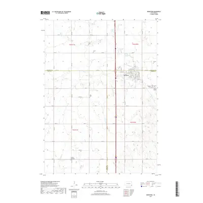
2017 Map of Beresford
USGS Topo · Published 2017About this map
Beresford serves as the central hub of this agricultural landscape at the tri-county junction of Lincoln, Clay, and Union counties. The town's grid is well-defined by streets such as W Main St and E Maple St, reflecting its role as a regional commerce center. Beyond the town limits, the terrain is characterized by the drainages of Blind Cr, Ash Cr, and Baptist Cr, which weave through a grid of section-line roads. This survey is particularly notable for its dense cluster of rural cemeteries and religious sites, such as the Danefield Seventh Day Advent Ch and the Bethesda Cem. These sites, along with smaller settlements like Brooklyn, provide a detailed record of the early 21st-century rural community and its longstanding family roots in the South Dakota prairie.
Find a feature on this map
40 named features on this map. Tap any name to fly to it.
Don’t see what you’re looking for? This feature index may not catch every label — zoom into the map to look around manually.
Map Details
Editions of this 2017 Beresford Map
This is the sole edition of this map. No revisions or reprints were ever made.
Other maps of this area

1897 · Canton
USGS Topo · 1:125,000

1898 · Elk Point
USGS Topo · 1:125,000

1900 · Canton
USGS Topo · 1:125,000

1901 · Elk Point
USGS Topo · 1:125,000

1907 · Elk Point
USGS Topo · 1:125,000

1955 · Sioux City
USGS Topo · 1:250,000

1955 · Sioux Falls
USGS Topo · 1:250,000

1958 · Sioux City
USGS Topo · 1:250,000

1958 · Sioux Falls
USGS Topo · 1:250,000

1959 · Sioux City
USGS Topo · 1:250,000