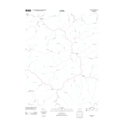
2013 Map of Berlin
USGS Topo · Published 2013About this map
Berlin and its neighboring rural crossroads define this corner of Pendleton County, where a network of ridge roads and creek-valley settlements has persisted for generations. The landscape is carved by the winding course of Kincaid Cr and its tributaries, including Opossum Trot Br and Logans Br, creating a topography of narrow valleys and high ridges. Significant for family historians, several burial grounds are scattered across the quadrangle, such as the Blackerby Cem near Berlin and the Odd Fellows Cem to the north. Smaller settlements like Lenoxburg and Neave remain connected by historical routes such as the Falmouth Lenoxburg Rd, while the southern reaches of the map include the interestingly named Bachelors Rest. This map captures the area as a series of tight-knit agricultural communities established along the watercourses of Sellars Run and Grovers Cr.
Find a feature on this map
68 named features on this map. Tap any name to fly to it.
Don’t see what you’re looking for? This feature index may not catch every label — zoom into the map to look around manually.
Map Details
Editions of this 2013 Berlin Map
This is the sole edition of this map. No revisions or reprints were ever made.
Other maps of this area

1929 · Alexandria
USGS Topo · 1:48,000

1930 · Falmouth
USGS Topo · 1:48,000

1931 · Felicity
USGS Topo · 1:62,500

1936 · Alexandria
USGS Topo · 1:62,500

1936 · Falmouth
USGS Topo · 1:62,500

1952 · Mount Olivet
USGS Topo · 1:24,000

1952 · Berlin
USGS Topo · 1:24,000

1952 · Brooksville
USGS Topo · 1:24,000

1952 · Claysville
USGS Topo · 1:24,000

1953 · Kelat
USGS Topo · 1:24,000