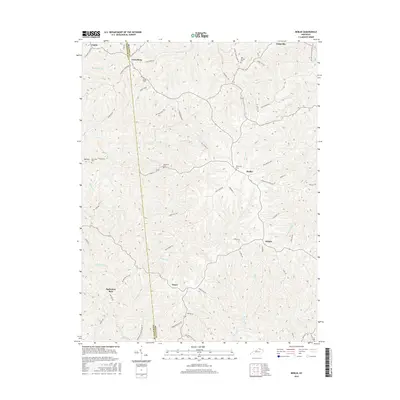
2016 Map of Berlin
USGS Topo · Published 2016About this map
The Pendleton and Bracken county border divides this rural landscape, where small crossroads communities and family-named cemeteries are connected by a network of ridge roads. The village of Berlin serves as a central hub, linked to neighboring settlements like Willow and Neave by winding routes such as Haley Ridge Rd and Cumminsville Berlin Rd. To the northwest, Lenoxburg and Caddo sit near the headwaters of Snag Cr and Turkey Br, while the curious name of Bachelors Rest marks a quiet locality in the southwest.
Find a feature on this map
66 named features on this map. Tap any name to fly to it.
Don’t see what you’re looking for? This feature index may not catch every label — zoom into the map to look around manually.
Map Details
Editions of this 2016 Berlin Map
This is the sole edition of this map. No revisions or reprints were ever made.
Other maps of this area

1929 · Alexandria
USGS Topo · 1:48,000

1930 · Falmouth
USGS Topo · 1:48,000

1931 · Felicity
USGS Topo · 1:62,500

1936 · Alexandria
USGS Topo · 1:62,500

1936 · Falmouth
USGS Topo · 1:62,500

1952 · Mount Olivet
USGS Topo · 1:24,000

1952 · Berlin
USGS Topo · 1:24,000

1952 · Brooksville
USGS Topo · 1:24,000

1952 · Claysville
USGS Topo · 1:24,000

1953 · Kelat
USGS Topo · 1:24,000