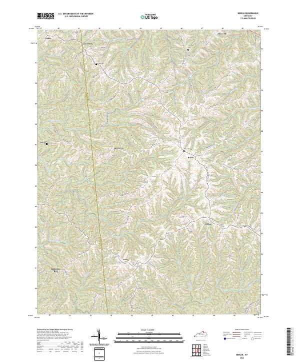
2022 Map of Berlin
USGS Topo · Published 2022About this map
Berlin and its surrounding uplands sit at the heart of this Kentucky landscape, where the topography is defined by the sharp divide of the Pendleton Co Bracken Co line. This survey shows a rural environment where life follows the ridgeline roads and winding watercourses like Kincaid Cr and Willow Cr. Smaller settlements such as Neave, Lenoxburg, and Bachelors Rest are connected by a network of local routes including Heave Ridge Rd and Powersville Willow Rd. For genealogists and local researchers, the map is particularly useful for identifying family burial grounds, including the Blackerby Cem near Berlin and the Johnsville Cem to the north. The drainage patterns of Sellers Run and Snag Cr illustrate how the terrain dictated the placement of early homesteads and agricultural boundaries in this part of the Bluegrass region.
Find a feature on this map
75 named features on this map. Tap any name to fly to it.
Don’t see what you’re looking for? This feature index may not catch every label — zoom into the map to look around manually.
Map Details
Editions of this 2022 Berlin Map
This is the sole edition of this map. No revisions or reprints were ever made.
Other maps of this area

1929 · Alexandria
USGS Topo · 1:48,000

1930 · Falmouth
USGS Topo · 1:48,000

1931 · Felicity
USGS Topo · 1:62,500

1936 · Alexandria
USGS Topo · 1:62,500

1936 · Falmouth
USGS Topo · 1:62,500

1952 · Mount Olivet
USGS Topo · 1:24,000

1952 · Berlin
USGS Topo · 1:24,000

1952 · Brooksville
USGS Topo · 1:24,000

1952 · Claysville
USGS Topo · 1:24,000

1953 · Kelat
USGS Topo · 1:24,000