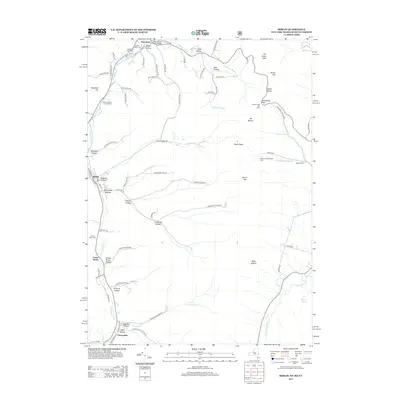
2013 Map of Berlin
USGS Topo · Published 2013About this map
The Little Hoosick River valley anchors this 2013 topographic survey of the borderlands between New York and Massachusetts. The terrain is defined by a dense series of hollows—named for early families and local landmarks—including Greene Hollow, Cowdry Hollow, and Mattison Hollow. These deep ravines descend from the high ridges of Berlin Mtn and Mt Raimer, where the Taconic Trails Ski Area once operated.
Find a feature on this map
83 named features on this map. Tap any name to fly to it.
Don’t see what you’re looking for? This feature index may not catch every label — zoom into the map to look around manually.
Map Details
Editions of this 2013 Berlin Map
This is the sole edition of this map. No revisions or reprints were ever made.
Other maps of this area

1886 · Greylock
USGS Topo · 1:62,500

1888 · Berlin
USGS Topo · 1:62,500

1890 · Berlin
USGS Topo · 1:62,500

1891 · Greylock
USGS Topo · 1:62,500

1893 · Greylock
USGS Topo · 1:62,500

1894 · Berlin
USGS Topo · 1:62,500

1897 · Hoosick
USGS Topo · 1:62,500

1898 · Berlin
USGS Topo · 1:62,500

1898 · Bennington
USGS Topo · 1:62,500

1898 · Greylock
USGS Topo · 1:62,500