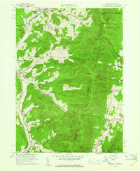
1960 Map of Berlin
USGS Topo · Published 1971About this map
The Taconic Range dominates this 1960 revision, forming a high-relief boundary where New York, Massachusetts, and Vermont converge. The valley of the Little Hoosic River serves as the primary corridor for settlement, linking the communities of Petersburg, Berlin, and Center Berlin. This area is notable for its dense concentration of family and community burial grounds, including the Wilkinson Cem, Jones Cem, and Pleasant Valley Cem, which reflect the deep genealogical roots of the region's early farming families. The landscape is deeply incised by numerous hollows, such as Mattison Hollow Brook and Satterlee Hollow, which define the local geography. Significant institutional footprints are visible, from the Central Sch to the Carmelite Novitiate, while the higher elevations are preserved within the Hopkins Memorial Experimental Forest.
Find a feature on this map
63 named features on this map. Tap any name to fly to it.
Don’t see what you’re looking for? This feature index may not catch every label — zoom into the map to look around manually.
Map Details
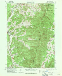
Editions of this 1960 Berlin Map
2 editions found
Other maps of this area

1886 · Greylock
USGS Topo · 1:62,500

1888 · Berlin
USGS Topo · 1:62,500

1890 · Berlin
USGS Topo · 1:62,500

1891 · Greylock
USGS Topo · 1:62,500

1893 · Greylock
USGS Topo · 1:62,500

1894 · Berlin
USGS Topo · 1:62,500

1897 · Hoosick
USGS Topo · 1:62,500

1898 · Berlin
USGS Topo · 1:62,500

1898 · Bennington
USGS Topo · 1:62,500

1898 · Greylock
USGS Topo · 1:62,500