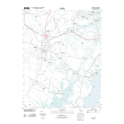
2011 Map of Berlin
USGS Topo · Published 2011About this map
Berlin serves as the focal point of this coastal Maryland landscape, situated inland from the expansive waters of Sinepuxent Bay and Newport Bay. The map documents a dense network of small communities and residential developments like Germantown, Pomona Heights, and Briddletown that radiate from the town center. Local history and genealogy are well-represented by a high concentration of burial sites, including Evergreen Cemetery, Saint Pauls Cemetery, and Buckingham Cemetery.
Find a feature on this map
136 named features on this map. Tap any name to fly to it.
Don’t see what you’re looking for? This feature index may not catch every label — zoom into the map to look around manually.
Map Details
Editions of this 2011 Berlin Map
This is the sole edition of this map. No revisions or reprints were ever made.
Other maps of this area

1901 · Snow Hill
USGS Topo · 1:62,500

1901 · Green Run
USGS Topo · 1:62,500

1901 · Ocean City
USGS Topo · 1:62,500

1902 · Pittsville
USGS Topo · 1:62,500

1938 · Green Run
USGS Topo · 1:62,500

1942 · Ocean City
USGS Topo · 1:62,500

1942 · Ninepin
USGS Topo · 1:24,000

1942 · Ocean City
USGS Topo · 1:24,000

1942 · Tingles Island
USGS Topo · 1:24,000

1942 · Wesley
USGS Topo · 1:24,000