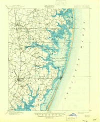
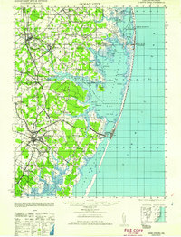
1942 Map of Ocean City
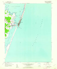
USGS Topo · Published 1962About this map
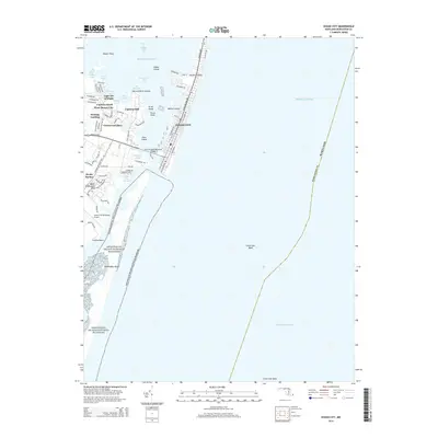
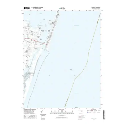
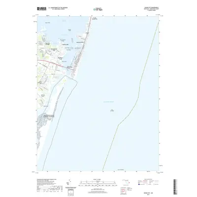
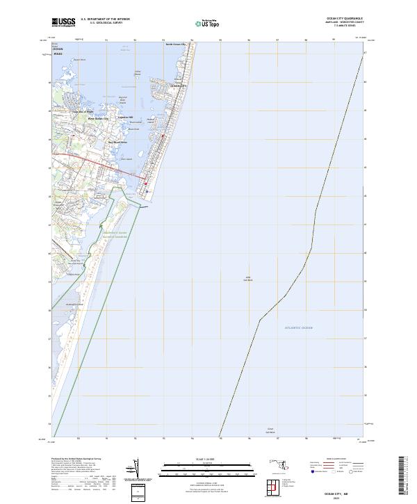
Fenwick Island and Assateague Island dominate this coastal survey, separated by the Ocean City Inlet which links the Atlantic Ocean to the interior bays. During the early 1940s, Ocean City was established as a burgeoning resort hub, with its grid of streets concentrated south of the Coast Guard Sta. The map highlights a landscape defined by water and narrow landforms, including the marshes of Sinepuxent Neck and the distinct points of Keyser Pt and Coffins Pt. Local geography is further detailed by named water bodies such as The Ditch, Aleck Pond, and Octopus Pond. These features reveal the intricate relationship between the seaside settlement and its surrounding wetlands, where navigation was facilitated by The Thorofare and landmarks like the Light and Tower near the inlet.
Find a feature on this map
32 named features on this map. Tap any name to fly to it.
Don’t see what you’re looking for? This feature index may not catch every label — zoom into the map to look around manually.
Map Details
Editions of this 1942 Ocean City Map
This is the sole edition of this map. No revisions or reprints were ever made.
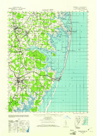
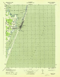
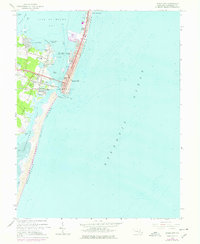
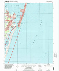
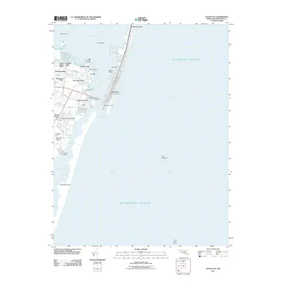
Historical Maps of Ocean City Through Time
12 maps found
1901 Ocean City
Worcester County, MD
1942 Ocean City
Worcester County, MD
1942 Ocean City
Worcester County, MD
1943 Ocean City
Worcester County, MD
1961 Ocean City
Worcester County, MD
1964 Ocean City
Worcester County, MD
1998 Ocean City
Worcester County, MD
2011 Ocean City
Worcester County, MD
2014 Ocean City
Worcester County, MD
2016 Ocean City
Worcester County, MD
2019 Ocean City
Worcester County, MD
2023 Ocean City
Worcester County, MD