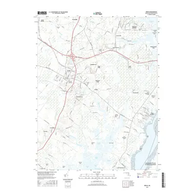
2016 Map of Berlin
USGS Topo · Published 2016About this map
The town of Berlin serves as the hub of this coastal Maryland landscape, situated west of the sprawling marshes and bays leading to the Atlantic. The region is marked by numerous family-named necks and small settlements like Germantown, Briddletown, and Friendship, reflecting a long history of agricultural and maritime residency. Significant local heritage is preserved in sites such as Saint Pauls Episcopal Church Cem and Buckingham Cem, while newer developments like Ocean Pines and West Ocean City show the area's growth toward the water.
Find a feature on this map
88 named features on this map. Tap any name to fly to it.
Don’t see what you’re looking for? This feature index may not catch every label — zoom into the map to look around manually.
Map Details
Editions of this 2016 Berlin Map
This is the sole edition of this map. No revisions or reprints were ever made.
Other maps of this area

1901 · Snow Hill
USGS Topo · 1:62,500

1901 · Green Run
USGS Topo · 1:62,500

1901 · Ocean City
USGS Topo · 1:62,500

1902 · Pittsville
USGS Topo · 1:62,500

1938 · Green Run
USGS Topo · 1:62,500

1942 · Ocean City
USGS Topo · 1:62,500

1942 · Ninepin
USGS Topo · 1:24,000

1942 · Ocean City
USGS Topo · 1:24,000

1942 · Tingles Island
USGS Topo · 1:24,000

1942 · Wesley
USGS Topo · 1:24,000