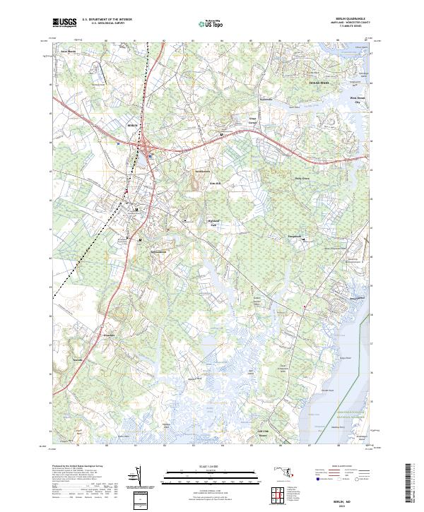
2023 Map of Berlin
USGS Topo · Published 2023About this map
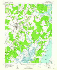
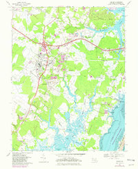
Berlin serves as the inland anchor for this coastal Worcester County landscape, where the agricultural traditions of the Delmarva Peninsula meet the expanding suburban developments of Ocean Pines and West Ocean City. The map reveals a complex interface of land and water, defined by the numerous "necks" such as Sinepuxent Neck and Wallops Neck that reach into the saline waters of Assawoman Bay and Sinepuxent Bay. Historically significant sites, including Buckingham Presbyterian Cem and Saint Pauls Episcopal Church, reflect the deep roots of these colonial-era settlements.
Find a feature on this map
178 named features on this map. Tap any name to fly to it.
Don’t see what you’re looking for? This feature index may not catch every label — zoom into the map to look around manually.
Map Details
Editions of this 2023 Berlin Map
This is the sole edition of this map. No revisions or reprints were ever made.
Historical Maps of Pomona Heights Through Time
3 maps found