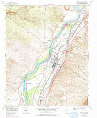
1954 Map of Bernalillo
USGS Topo · Published 1975About this map
Rio Grande irrigation and valley settlement define this mid-century landscape in Sandoval County. The complex network of water management features, including the Albuquerque Main Canal, Bernalillo Riverside Drain, and Corrales Main Canal, reveals how the river was harnessed for the surrounding land grants. The village of Bernalillo serves as the focal point, situated along the Atchison Topeka and Santa Fe railroad line and the Camino Real.
Find a feature on this map
37 named features on this map. Tap any name to fly to it.
Don’t see what you’re looking for? This feature index may not catch every label — zoom into the map to look around manually.
Map Details
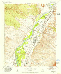
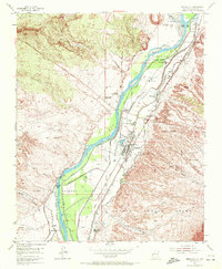
Editions of this 1954 Bernalillo Map
3 editions found
Other maps of this area

1888 · Bernalillo
USGS Topo · 1:125,000

1889 · Albuquerque
USGS Topo · 1:125,000

1892 · San Pedro
USGS Topo · 1:125,000

1893 · Albuquerque
USGS Topo · 1:125,000

1934 · Alameda
USGS Topo · 1:24,000

1934 · Griegos
USGS Topo · 1:24,000

1938 · Albuquerque
USGS Topo · 1:62,500

1953 · Bernalillo NW
USGS Topo · 1:24,000

1954 · Sandia Crest
USGS Topo · 1:24,000

1954 · Alameda
USGS Topo · 1:24,000