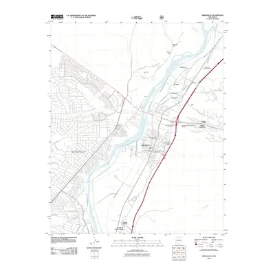
1990 Map of Bernalillo
USGS Topo · Published 1996About this map
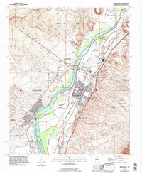
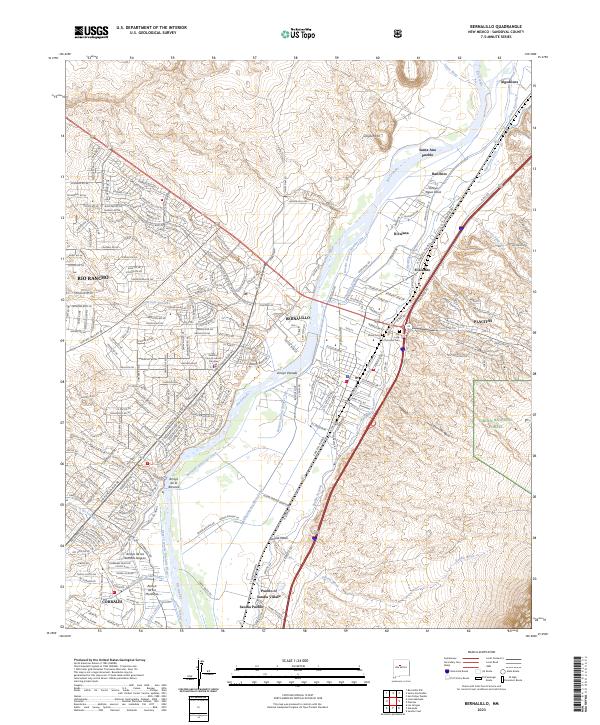
The Rio Grande valley north of Albuquerque serves as a focal point for ancient and modern habitation, where the Santa Ana Indian Reservation and Sandia Indian Reservation meet the expanding communities of Bernalillo and Rio Rancho. The landscape is defined by its complex irrigation infrastructure, including the Corrales Main Canal and Albuquerque Main Canal, which support agriculture along the riverbanks. Cultural heritage is anchored by the Coronado State Monument and State Park and the historic Sandia Pueblo.
Find a feature on this map
58 named features on this map. Tap any name to fly to it.
Don’t see what you’re looking for? This feature index may not catch every label — zoom into the map to look around manually.
Map Details
Editions of this 1990 Bernalillo Map
This is the sole edition of this map. No revisions or reprints were ever made.
Historical Maps of Rio Rancho Through Time
10 maps found

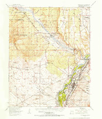
1888 Bernalillo
Sandoval County, NM
1954 Bernalillo
Sandoval County, NM
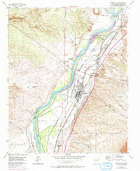
1954 Bernalillo
Sandoval County, NM
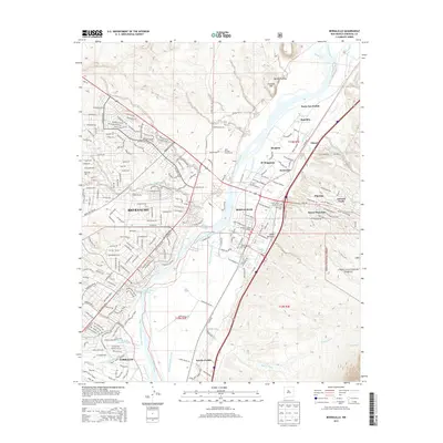
1990 Bernalillo
Sandoval County, NM
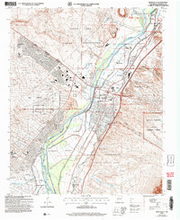
2006 Bernalillo
Sandoval County, NM
2011 Bernalillo
Sandoval County, NM
2013 Bernalillo
Sandoval County, NM
2017 Bernalillo
Sandoval County, NM
2020 Bernalillo
Sandoval County, NM
2023 Bernalillo
Sandoval County, NM