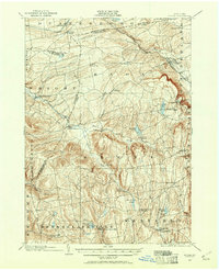
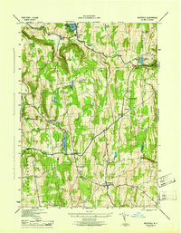
1900 Map of Berne
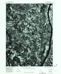
USGS Topo · Published 1961About this map
The Helderberg Escarpment dominates this landscape at the turn of the century, punctuated by the dramatic Indian Ladder and the emerging recreation areas of John Boyd Thacher Park. This 1900 survey captures the agricultural and village life of the Albany and Schoharie county borderlands, where the Delaware and Hudson railroad cuts through the north at Altamont and Delanson.
Find a feature on this map
56 named features on this map. Tap any name to fly to it.
Don’t see what you’re looking for? This feature index may not catch every label — zoom into the map to look around manually.
Map Details
Editions of this 1900 Berne Map
2 editions found

Historical Maps of Guilderland Through Time
44 maps found
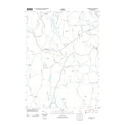
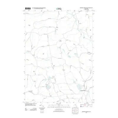
1900 Berne
Albany County, NY
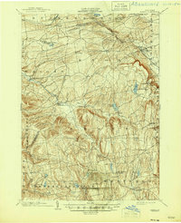
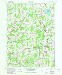
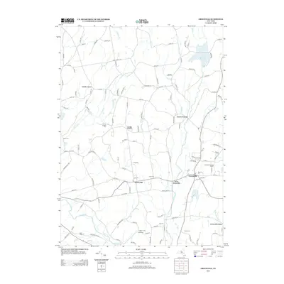
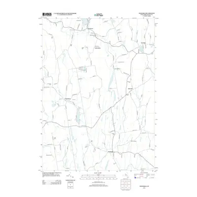
1903 Berne
Albany County, NY
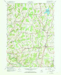
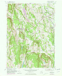
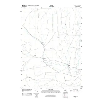
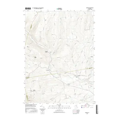
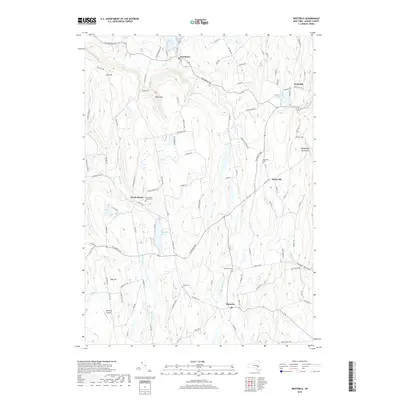
1943 Westerlo
Albany County, NY
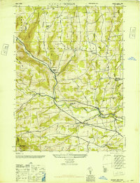
1945 Durham
Albany County, NY
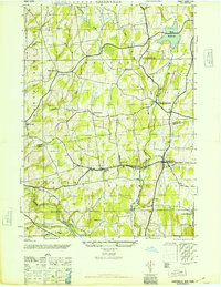
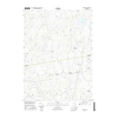
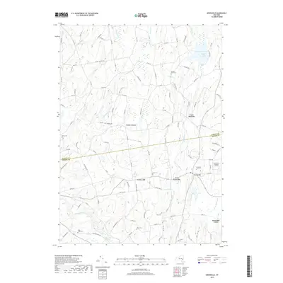
1945 Greenville
Albany County, NY
1946 Durham
Albany County, NY
1946 Greenville
Albany County, NY
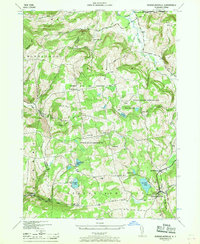
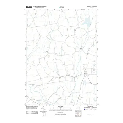
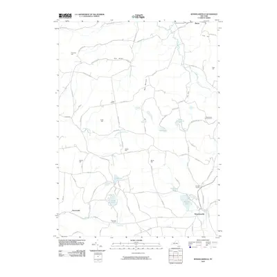
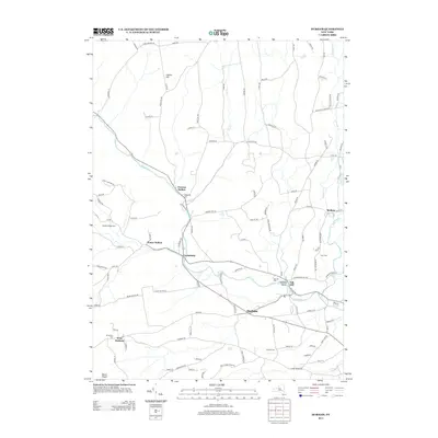
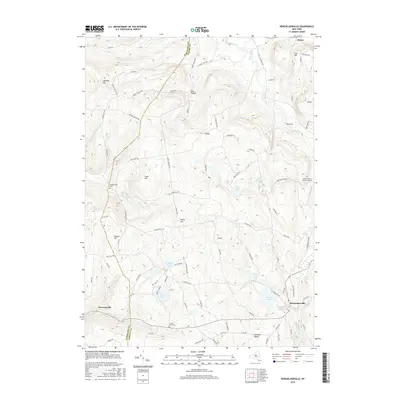
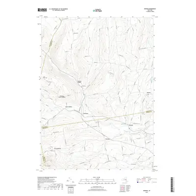
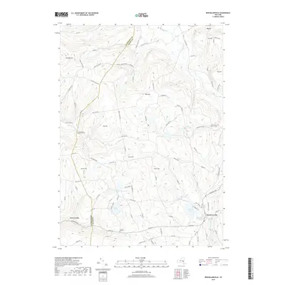
1946 Rensselaerville
Albany County, NY
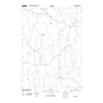
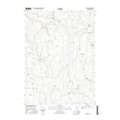
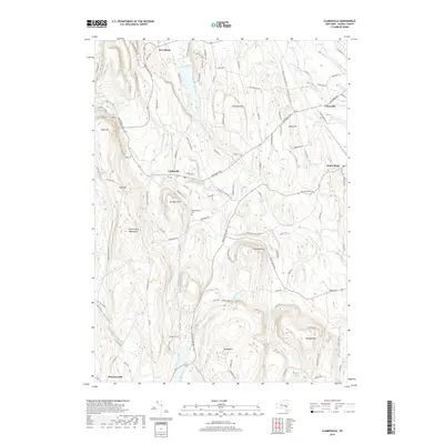
1946 Westerlo
Albany County, NY
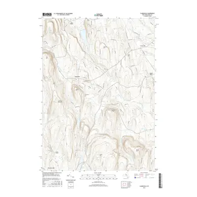
1953 Clarksville
Albany County, NY
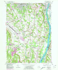
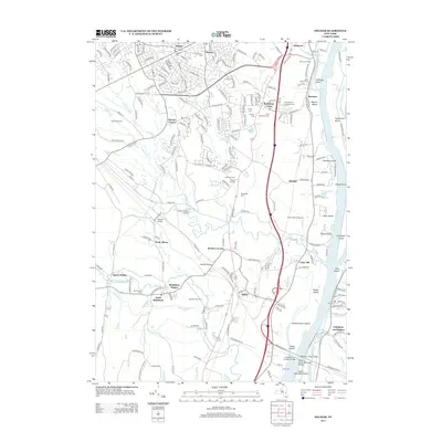
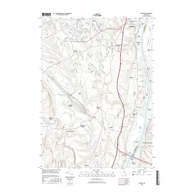
1953 Delmar
Albany County, NY
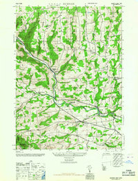
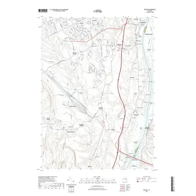
1967 Durham
Albany County, NY
1978 Delmar
Albany County, NY
1980 Greenville
Albany County, NY
2010 Clarksville
Albany County, NY
2010 Delmar
Albany County, NY
2010 Durham
Albany County, NY
2010 Greenville
Albany County, NY
2010 Rensselaerville
Albany County, NY
2010 Westerlo
Albany County, NY
2013 Clarksville
Albany County, NY
2013 Delmar
Albany County, NY
2013 Durham
Albany County, NY
2013 Greenville
Albany County, NY
2013 Rensselaerville
Albany County, NY
2013 Westerlo
Albany County, NY
2016 Clarksville
Albany County, NY
2016 Delmar
Albany County, NY
2016 Durham
Albany County, NY
2016 Greenville
Albany County, NY
2016 Rensselaerville
Albany County, NY
2016 Westerlo
Albany County, NY
2019 Clarksville
Albany County, NY
2019 Delmar
Albany County, NY
2019 Durham
Albany County, NY
2019 Greenville
Albany County, NY
2019 Rensselaerville
Albany County, NY
2019 Westerlo
Albany County, NY

2023 Clarksville
Albany County, NY

2023 Delmar
Albany County, NY

2023 Durham
Albany County, NY

2023 Greenville
Albany County, NY

2023 Rensselaerville
Albany County, NY

2023 Westerlo
Albany County, NY