2022 Map of Bessemer City
USGS Topo · Published 2022About this map
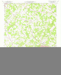
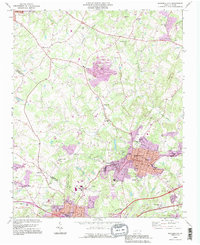
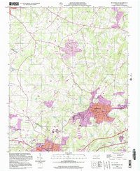
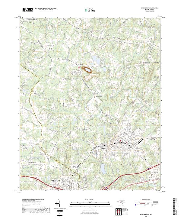
Bessemer City serves as the central hub of this North Carolina landscape, where the street grid expands into the surrounding Piedmont hills. The terrain is defined by the prominent Chestnut Ridge and Pasour Mtn, with local water sources like the Bessemer City Reservoir and Long Cr shaping the development of the countryside. This era shows the continued growth of regional connections between established communities such as Cherryville, Kings Mountain, and the western edge of Gastonia.
Find a feature on this map
216 named features on this map. Tap any name to fly to it.
Don’t see what you’re looking for? This feature index may not catch every label — zoom into the map to look around manually.
Map Details
Editions of this 2022 Bessemer City Map
This is the sole edition of this map. No revisions or reprints were ever made.
Historical Maps of Sunnyside Through Time
5 maps found