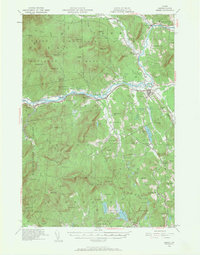
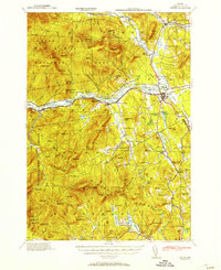
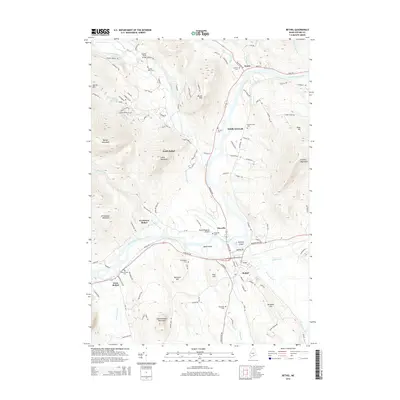
1940 Map of Bethel
USGS Topo · Published 1968About this map
Androscoggin River serves as the central artery of this 1940 Oxford County landscape, where the Grand Trunk Railway follows the river valley through several historic mountain settlements. The map documents a distributed network of early rural education, including the Sunday River Sch, Mason School, and Dresser Sch. Large portions of the terrain are preserved within the White Mountain National Forest, covering prominent peaks like Barker Mtn and Jordan Mtn. The survey details the transition from the concentrated village center at Bethel to smaller hamlets such as Middle Intervale and Hastings. Researchers can find evidence of early civic structures like the Town House and local landmarks such as the Bethel Cem, providing a clear view of the area's development before the mid-20th century.
Find a feature on this map
129 named features on this map. Tap any name to fly to it.
Don’t see what you’re looking for? This feature index may not catch every label — zoom into the map to look around manually.
Map Details
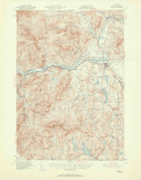
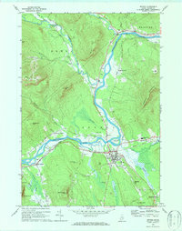
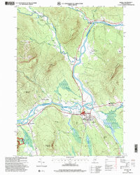
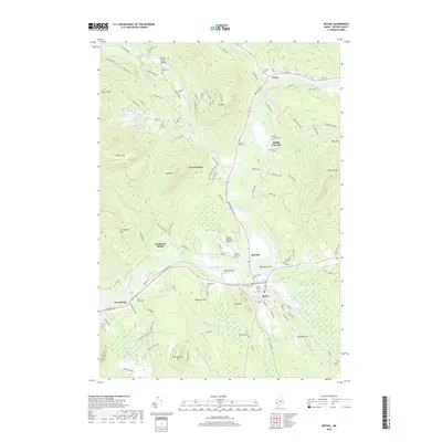
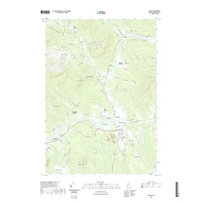
Editions of this 1940 Bethel Map
2 editions found
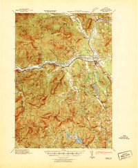
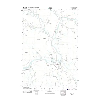
Historical Maps of Bethel Through Time
11 maps found
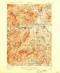
1914 Bethel
Oxford County, ME
1940 Bethel
Oxford County, ME
1941 Bethel
Oxford County, ME
1953 Bethel
Oxford County, ME
1970 Bethel
Oxford County, ME
1995 Bethel
Oxford County, ME
2012 Bethel
Oxford County, ME
2014 Bethel
Oxford County, ME
2018 Bethel
Oxford County, ME
2021 Bethel
Oxford County, ME
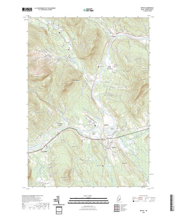
2024 Bethel
Oxford County, ME