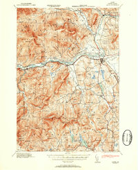
1953 Map of Bethel
USGS Topo · Published 1953About this map
The Androscoggin River valley serves as the primary artery for settlement and transport in this Oxford County landscape, where the town of Bethel and its surrounding villages like West Bethel, North Bethel, and Mayville are situated. This 1953 civil edition, revised from 1940 military aerial photography, documents a network of rural schoolhouses and neighborhood landmarks that define early mid-century Maine life. Educational centers such as Mason School, Flat School, and Sunday River Sch are clearly marked alongside civil sites like the Town House.
Find a feature on this map
117 named features on this map. Tap any name to fly to it.
Don’t see what you’re looking for? This feature index may not catch every label — zoom into the map to look around manually.
Map Details
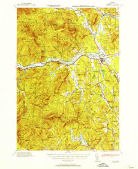
Editions of this 1953 Bethel Map
2 editions found
Other maps of this area

1893 · Gorham
USGS Topo · 1:62,500

1894 · North Conway
USGS Topo · 1:62,500

1896 · Norway
USGS Topo · 1:62,500

1896 · North Conway
USGS Topo · 1:62,500

1896 · Gorham
USGS Topo · 1:62,500

1909 · Fryeburg
USGS Topo · 1:62,500

1911 · Fryeburg
USGS Topo · 1:62,500

1911 · Bryant Pond
USGS Topo · 1:62,500

1914 · Bethel
USGS Topo · 1:62,500

1914 · Bryant Pond
USGS Topo · 1:62,500