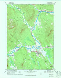
1970 Map of Bethel
USGS Topo · Published 1987About this map
The Androscoggin River serves as the central artery of this region, joined by the Sunday River, Alder River, and Pleasant River near the town of Bethel. This survey captures the town at a time of established educational and transport infrastructure, featuring the campus of Gould Academy and the newer Telstar Regional High Sch. The Grand Trunk railway line follows the river valley, facilitating movement through the mountains that hem in the settlements, including Barker Mtn and Locke Mtn. Local heritage is preserved in several rural burial grounds such as Sunday River Cem and Skillingston Cem, while a Covered Bridge on the Sunday River and the Colonel Dyke Airfield mark different eras of local transit. The map details a landscape where industrial features like Gravel Pits coexist with natural landmarks like Bond Island and Hastings Island.
Find a feature on this map
57 named features on this map. Tap any name to fly to it.
Don’t see what you’re looking for? This feature index may not catch every label — zoom into the map to look around manually.
Map Details
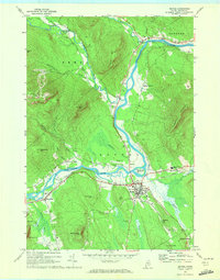
Editions of this 1970 Bethel Map
2 editions found
Other maps of this area

1911 · Bryant Pond
USGS Topo · 1:62,500

1914 · Bethel
USGS Topo · 1:62,500

1914 · Bryant Pond
USGS Topo · 1:62,500

1927 · Rumford
USGS Topo · 1:48,000

1930 · Rumford
USGS Topo · 1:62,500

1940 · Bethel
USGS Topo · 1:62,500

1941 · Bethel
USGS Topo · 1:62,500

1942 · Bryant Pond
USGS Topo · 1:62,500

1943 · Old Speck Mtn
USGS Topo · 1:62,500

1945 · Old Speck Mtn
USGS Topo · 1:62,500