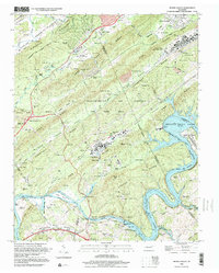
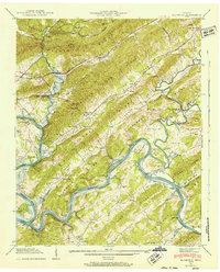
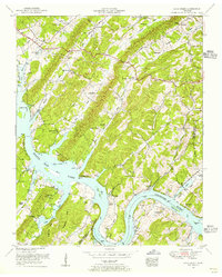
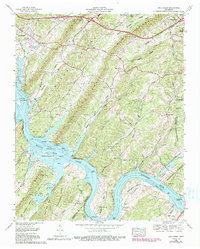
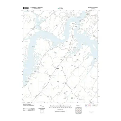
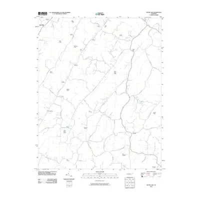
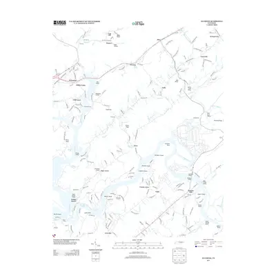
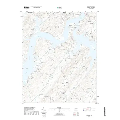
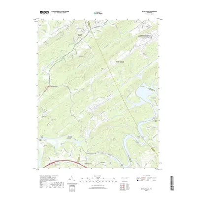
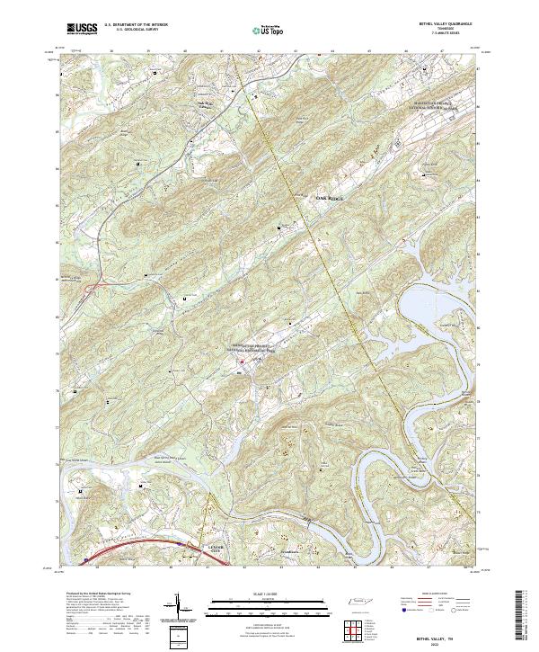
1998 Map of Bethel Valley
USGS Topo · Published 2001About this map
Oak Ridge and its surrounding valleys are defined by the parallel ridges of the Tennessee Valley, including Blackoak Ridge, Chestnut Ridge, and Copper Ridge. This late 20th-century landscape reflects the complex history of the area, from the residential development of Oak Hills Estates and Shoreline Estates to the legacy of family homesteads preserved in dozens of burial grounds like George Jones Memorial Cem and Christenbery Cem.
Find a feature on this map
87 named features on this map. Tap any name to fly to it.
Don’t see what you’re looking for? This feature index may not catch every label — zoom into the map to look around manually.
Map Details
Editions of this 1998 Bethel Valley Map
This is the sole edition of this map. No revisions or reprints were ever made.
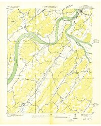
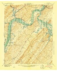
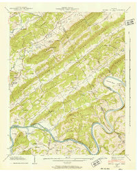
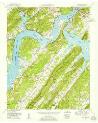
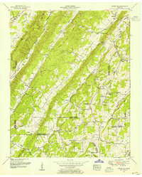
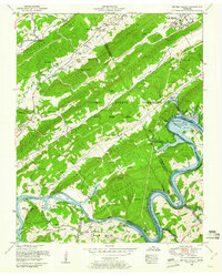
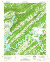
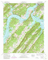
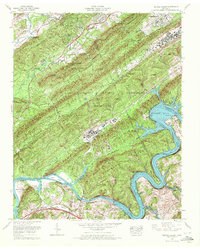
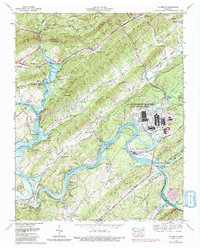
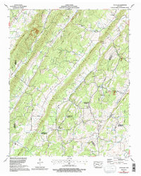
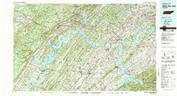
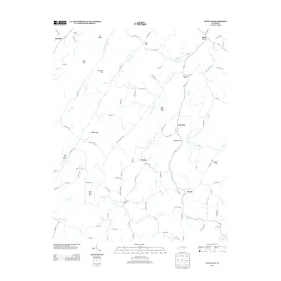
Historical Maps of Oak Ridge Through Time
48 maps found

1935 Bethel Valley
Roane County, TN

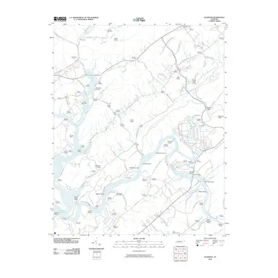
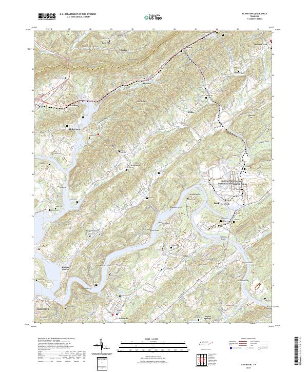
1935 Elverton
Roane County, TN
1936 Bacon Gap
Roane County, TN

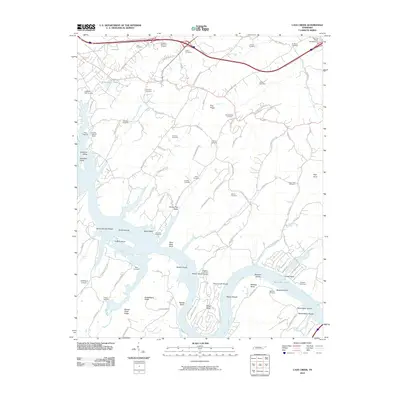
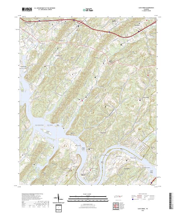
1936 Cave Creek
Roane County, TN

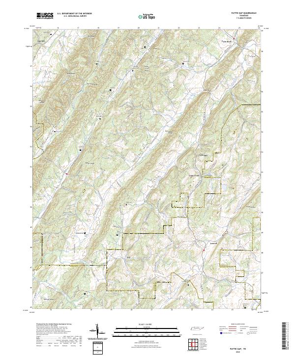
1936 Pattie Gap
Roane County, TN
1940 Bacon Gap
Roane County, TN

1940 Cave Creek
Roane County, TN

1940 Pattie Gap
Roane County, TN
1941 Bethel Valley
Roane County, TN
1941 Elverton
Roane County, TN
1952 Bacon Gap
Roane County, TN
1952 Pattie Gap
Roane County, TN
1953 Bethel Valley
Roane County, TN
1953 Cave Creek
Roane County, TN
1953 Elverton
Roane County, TN
1968 Bacon Gap
Roane County, TN
1968 Bethel Valley
Roane County, TN
1968 Cave Creek
Roane County, TN
1968 Elverton
Roane County, TN
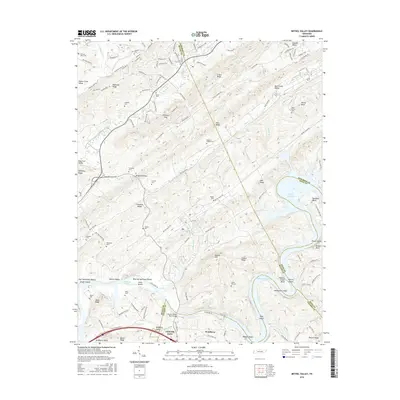
1973 Pattie Gap
Roane County, TN
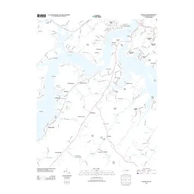
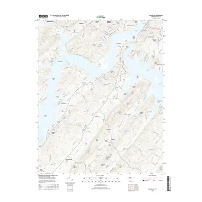
1981 Watts Bar Lake
Roane County, TN

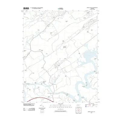
1989 Bethel Valley
Roane County, TN
1998 Bethel Valley
Roane County, TN
2010 Bacon Gap
Roane County, TN
2010 Bethel Valley
Roane County, TN
2010 Cave Creek
Roane County, TN
2010 Elverton
Roane County, TN
2010 Pattie Gap
Roane County, TN
2013 Bacon Gap
Roane County, TN
2013 Bethel Valley
Roane County, TN
2013 Cave Creek
Roane County, TN
2013 Elverton
Roane County, TN
2013 Pattie Gap
Roane County, TN
2016 Bacon Gap
Roane County, TN
2016 Bethel Valley
Roane County, TN
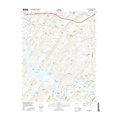
2016 Cave Creek
Roane County, TN
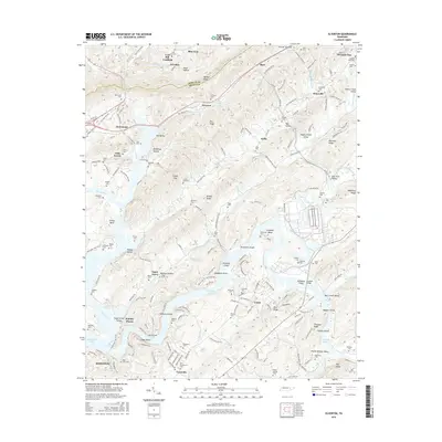
2016 Elverton
Roane County, TN
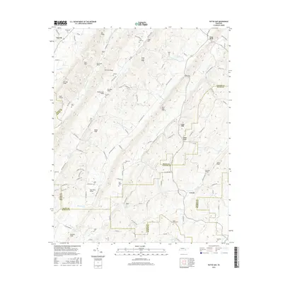
2016 Pattie Gap
Roane County, TN
2019 Bacon Gap
Roane County, TN
2019 Bethel Valley
Roane County, TN
2019 Cave Creek
Roane County, TN
2019 Elverton
Roane County, TN
2019 Pattie Gap
Roane County, TN
2022 Bethel Valley
Roane County, TN
2022 Cave Creek
Roane County, TN
2022 Elverton
Roane County, TN
2022 Pattie Gap
Roane County, TN
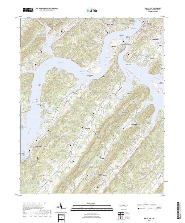
2023 Bacon Gap
Roane County, TN