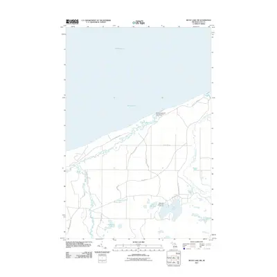
2011 Map of Betsy Lake NW
USGS Topo · Published 2011About this map
The Two Hearted River system dominates this section of Michigan's Upper Peninsula, where the river's winding course meets the cold waters of Lake Superior. The landscape is defined by the convergence of several major tributaries, including the East Branch Two Hearted River and the Little Two Hearted River, which meander through a heavily forested terrain punctuated by numerous small glacial lakes. This area serves as a primary hub for northern Michigan's recreational culture, anchored by the Mouth of Two Hearted River State Forest Campground on the coast and the Pike Lake State Forest Campground further inland.
Find a feature on this map
23 named features on this map. Tap any name to fly to it.
Don’t see what you’re looking for? This feature index may not catch every label — zoom into the map to look around manually.
Map Details
Editions of this 2011 Betsy Lake NW Map
This is the sole edition of this map. No revisions or reprints were ever made.
Other maps of this area

1954 · Sault Sainte Marie
USGS Topo · 1:250,000

1956 · Sault Sainte Marie
USGS Topo · 1:250,000

1957 · Sault Sainte Marie
USGS Topo · 1:250,000

1958 · Sault Sainte Marie
USGS Topo · 1:250,000

1968 · Muskallonge Lake East
USGS Topo · 1:24,000
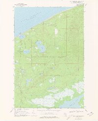
1968 · Betsy Lake North
USGS Topo · 1:24,000

1968 · Muskallonge Lake SE
USGS Topo · 1:24,000

1968 · Betsy Lake NW
USGS Topo · 1:24,000

1968 · Betsy Lake SW
USGS Topo · 1:24,000
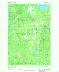
1968 · Betsy Lake South
USGS Topo · 1:24,000