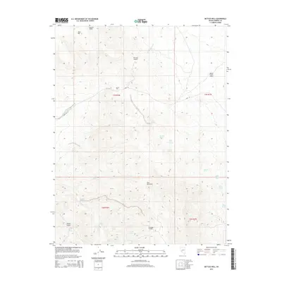
2014 Map of Bettles Well
USGS Topo · Published 2014About this map
Stewart Valley and the Monte Cristo Valley define the high desert topography of this Mineral County landscape, separated by the prominent heights of Tim Holt Summit and the Pilot Mountains. Settlement in this arid environment centers on established water sources and ranching outposts such as Bettles Well and Bettles Ranch. The map reveals a sophisticated network of springs essential for survival and livestock in the Great Basin, including Warner Corral Spring, Black Jack Spring, and Graham Spring. Deep cuts through the terrain like Dunlap Canyon and Cinnabar Canyon underscore the complex drainage patterns feeding into Finger Rock Wash. This survey captures the isolated character of the Nevada interior, where named landmarks often correspond to vital water points or high summits like Table Mtn.
Find a feature on this map
29 named features on this map. Tap any name to fly to it.
Don’t see what you’re looking for? This feature index may not catch every label — zoom into the map to look around manually.
Map Details
Editions of this 2014 Bettles Well Map
This is the sole edition of this map. No revisions or reprints were ever made.
Other maps of this area

1907 · Tonopah
USGS Topo · 1:250,000

1908 · Tonopah
USGS Topo · 1:250,000

1909 · Hawthorne
USGS Topo · 1:250,000

1911 · Hawthorne
USGS Topo · 1:250,000

1915 · Hawthorne
USGS Topo · 1:250,000

1948 · Walker Lake
USGS Topo · 1:250,000

1956 · Tonopah
USGS Topo · 1:250,000

1957 · Walker Lake
USGS Topo · 1:250,000

1959 · Tonopah
USGS Topo · 1:250,000

1962 · Walker Lake
USGS Topo · 1:250,000