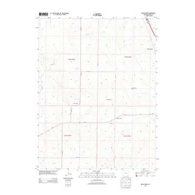
2013 Map of Beuck Draw
USGS Topo · Published 2013About this map
Beuck Draw and its surrounding drainages define this portion of Elbert County, characterized by the intricate relief of Godfrey Gulch, East Godfrey Gulch, and Willow Gulch. These seasonal watercourses carve the landscape between the higher elevations of Cedar Point and the western flow of E Bijou Cr. The transportation network is built upon a grid of rural county roads, such as Co Road 153 and Co Road 157, which intersect with the primary east-west corridor of Co-86. This 2013 survey illustrates the enduring agricultural and ranching patterns of the Colorado plains, where large township and range sections remain largely undivided by modern suburban expansion.
Find a feature on this map
20 named features on this map. Tap any name to fly to it.
Don’t see what you’re looking for? This feature index may not catch every label — zoom into the map to look around manually.
Map Details
Editions of this 2013 Beuck Draw Map
This is the sole edition of this map. No revisions or reprints were ever made.
Other maps of this area

1891 · Limon
USGS Topo · 1:125,000

1892 · Limon
USGS Topo · 1:125,000

1953 · Denver
USGS Topo · 1:250,000

1954 · Limon
USGS Topo · 1:250,000

1957 · Denver
USGS Topo · 1:250,000

1957 · Limon
USGS Topo · 1:250,000

1958 · Limon
USGS Topo · 1:250,000

1958 · Denver
USGS Topo · 1:250,000

1960 · Denver
USGS Topo · 1:250,000

1970 · Agate
USGS Topo · 1:24,000