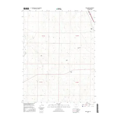
2016 Map of Beuck Draw
USGS Topo · Published 2016About this map
Cedar Point sits on the eastern edge of this section of the High Plains, where the terrain is defined by a series of drainage basins that carve through Elbert County. The hydrological network is led by East Bijou Cr and the namesake Beuck Draw, creating a landscape of repeating ridges and troughs. This topography is further detailed by several prominent incisions including East Godfrey Gulch, Godfrey Gulch, and Willow Gulch, which dictate the local movement of water and the placement of rural infrastructure.
Find a feature on this map
16 named features on this map. Tap any name to fly to it.
Don’t see what you’re looking for? This feature index may not catch every label — zoom into the map to look around manually.
Map Details
Editions of this 2016 Beuck Draw Map
This is the sole edition of this map. No revisions or reprints were ever made.
Other maps of this area

1891 · Limon
USGS Topo · 1:125,000

1892 · Limon
USGS Topo · 1:125,000

1953 · Denver
USGS Topo · 1:250,000

1954 · Limon
USGS Topo · 1:250,000

1957 · Denver
USGS Topo · 1:250,000

1957 · Limon
USGS Topo · 1:250,000

1958 · Limon
USGS Topo · 1:250,000

1958 · Denver
USGS Topo · 1:250,000

1960 · Denver
USGS Topo · 1:250,000

1970 · Agate
USGS Topo · 1:24,000