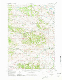
1958 Map of Beulah
USGS Topo · Published 1981About this map
The settlement of Beulah sits at the eastern edge of the Wyoming border, where the interstate corridor of U.S. 212 follows the path of Redwater Creek. This late 1950s survey captures a landscape of cattle ranching and early atomic-era interest, as evidenced by the involvement of the Atomic Energy Commission. The map is dense with family ranching operations including the Lightner Ranch, Heetland Ranch, and Wolfe Ranch, illustrating the homesteading legacy in this portion of the Black Hills. Education in these rural communities was still decentralized, shown by local schoolhouses such as Sunny Slope Sch and Weaver Sch. The varied terrain of the region is well-defined, from the elevations of Coal Land Ridge and Table Mountain to the deeply eroded gullies of The Brakes. Along the South Dakota line, the McNenny Fish Hatchery and the Belle Fourche River mark the transition toward more permanent water features and state-managed resources.
Find a feature on this map
56 named features on this map. Tap any name to fly to it.
Don’t see what you’re looking for? This feature index may not catch every label — zoom into the map to look around manually.
Map Details
Editions of this 1958 Beulah Map
3 editions found

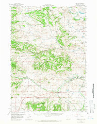
Other maps of this area

1894 · Deadwood
USGS Topo · 1:125,000

1898 · Sundance
USGS Topo · 1:125,000

1900 · Spearfish
USGS Topo · 1:62,500

1901 · Deadwood
USGS Topo · 1:125,000

1901 · Aladdin
USGS Topo · 1:125,000

1902 · Sundance
USGS Topo · 1:125,000

1903 · Aladdin
USGS Topo · 1:125,000

1905 · Indian
USGS Topo · 1:62,500

1907 · Belle Fourche
USGS Topo · 1:125,000

1907 · Redwater
USGS Topo · 1:62,500