
1958 Map of Beulah
USGS Topo · Published 1960About this map
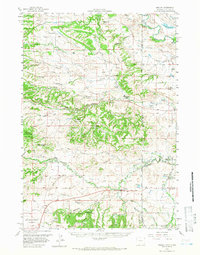
Beulah serves as the focal point for this 1950s study of the high plains and rugged breaks along the state line between Wyoming and South Dakota. The landscape is defined by its deep drainage systems and ranching outposts, including the Hutchinson Ranch, Wolfe Ranch, and Ripley Ranch. The Belle Fourche River winds through the northeast corner, while the complex terrain of The Brakes and Coal Divide illustrates the difficult topography that early settlers navigated. Educational and social hubs like Weaver Sch and Sunny Slope Sch are clearly marked, alongside specialized landmarks such as the Mc Nenny Fish Hatchery (USDA). This survey captures a moment when rural infrastructure, from the Gaging Sta on Redwater Creek to the Slaughter Reservoir, was critical to the management of this arid environment.
Find a feature on this map
61 named features on this map. Tap any name to fly to it.
Don’t see what you’re looking for? This feature index may not catch every label — zoom into the map to look around manually.
Map Details
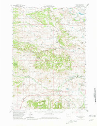
Editions of this 1958 Beulah Map
3 editions found
Other maps of this area

1894 · Deadwood
USGS Topo · 1:125,000

1898 · Sundance
USGS Topo · 1:125,000

1900 · Spearfish
USGS Topo · 1:62,500

1901 · Deadwood
USGS Topo · 1:125,000

1901 · Aladdin
USGS Topo · 1:125,000

1902 · Sundance
USGS Topo · 1:125,000

1903 · Aladdin
USGS Topo · 1:125,000

1905 · Indian
USGS Topo · 1:62,500

1907 · Belle Fourche
USGS Topo · 1:125,000

1907 · Redwater
USGS Topo · 1:62,500