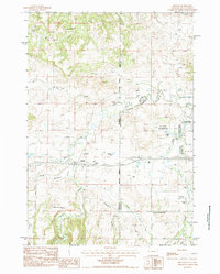
1984 Map of Beulah
USGS Topo · Published 1984About this map
Beulah sits at the intersection of the high plains and the rugged Black Hills, serving as a gateway between Wyoming and South Dakota in the early 1980s. The landscape is defined by the winding course of Redwater Creek and its many tributaries, such as Sand Creek and Crow Creek, which supported local irrigation efforts like the Thompson Ditch. North of the settlement, the terrain shifts into the dissected ridges known as The Brakes, while the valley floor features the Mc Nenny National Fish Hatchery and several water bodies including Mirror Lake and Montana Lake. Evidence of local transport and infrastructure is seen in the Riflepit Road and the Wooden Pole Trans Line, while a local Cem and several quarries and gravel pits indicate the community's domestic and industrial footprint. The map captures the borderland character of the region, where state lines and meridians bisect a landscape of gulches and creeks.
Find a feature on this map
31 named features on this map. Tap any name to fly to it.
Don’t see what you’re looking for? This feature index may not catch every label — zoom into the map to look around manually.
Map Details
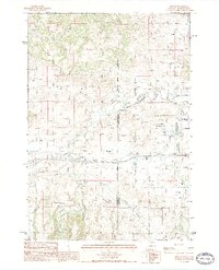
Editions of this 1984 Beulah Map
2 editions found
Other maps of this area

1894 · Deadwood
USGS Topo · 1:125,000

1898 · Sundance
USGS Topo · 1:125,000

1900 · Spearfish
USGS Topo · 1:62,500

1901 · Deadwood
USGS Topo · 1:125,000

1901 · Aladdin
USGS Topo · 1:125,000

1902 · Sundance
USGS Topo · 1:125,000

1903 · Aladdin
USGS Topo · 1:125,000

1907 · Belle Fourche
USGS Topo · 1:125,000

1907 · Redwater
USGS Topo · 1:62,500

1915 · Spearfish
USGS Topo · 1:62,500