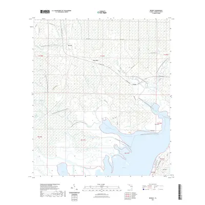
2021 Map of Beverly
USGS Topo · Published 2021About this map
Apalachicola River Wildlife and Environmental Area dominates this coastal wetland landscape, where the labyrinthine hydrology of the Panhandle is on full display. The map documents a complex network of freshwater and brackish channels, including the East River, Saint Marks River, and Little Saint Marks River, which feed into the expansive East Bay. Small settlements and named locales like Beverly, Hays Place, and Creels are scattered along established routes such as N Shore Bay Rd.
Find a feature on this map
58 named features on this map. Tap any name to fly to it.
Don’t see what you’re looking for? This feature index may not catch every label — zoom into the map to look around manually.
Map Details
Editions of this 2021 Beverly Map
This is the sole edition of this map. No revisions or reprints were ever made.
Other maps of this area

1943 · West Pass
USGS Topo · 1:31,680

1943 · Apalachicola
USGS Topo · 1:31,680

1943 · Jackson River
USGS Topo · 1:24,000

1944 · Green Point
USGS Topo · 1:31,680

1944 · Apalachicola
USGS Topo · 1:24,000

1944 · Forbes Island
USGS Topo · 1:24,000

1945 · Forbes Island
USGS Topo · 1:31,680

1945 · Tates Hell Swamp
USGS Topo · 1:31,680

1945 · Beverly
USGS Topo · 1:31,680

1945 · Jackson River
USGS Topo · 1:31,680