
1945 Map of Tates Hell Swamp
USGS Topo · Published 1945About this map
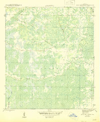
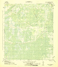
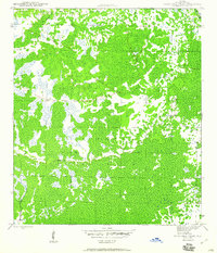
Tates Hell Swamp dominates this mid-1940s landscape, reflecting a region defined by its hydrology and industrial logging history. The map was compiled by the Geological Survey during the war years, with land line data supplied by the State of Florida. The terrain is marked by an extensive network of Old Logging RR lines that cut through the wetlands, illustrating the heavy timber extraction that characterized the Panhandle's economy in this era. Water flows through the swamp via Whisky George Creek and Big Slough Br., eventually reaching the New R. at the eastern boundary. This survey captures a specific industrial moment before modern drainage and reforestation altered the natural drainage patterns of this notoriously difficult terrain.
Find a feature on this map
5 named features on this map. Tap any name to fly to it.
Don’t see what you’re looking for? This feature index may not catch every label — zoom into the map to look around manually.
Map Details
Editions of this 1945 Tates Hell Swamp Map
4 editions found
Other maps of this area

1943 · Carrabelle
USGS Topo · 1:24,000

1944 · Pickett Bay
USGS Topo · 1:31,680

1944 · Carrabelle
USGS Topo · 1:31,680

1944 · Green Point
USGS Topo · 1:31,680

1945 · Thousand Yard Bay
USGS Topo · 1:31,680

1945 · Beverly
USGS Topo · 1:31,680

1945 · Pickett Bay
USGS Topo · 1:31,680

1945 · Fort Gadsden
USGS Topo · 1:31,680

1946 · Sumatra
USGS Topo · 1:31,680

1946 · Owens Bridge
USGS Topo · 1:31,680