
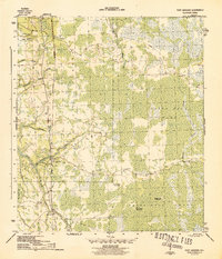
1945 Map of Fort Gadsden
USGS Topo · Published 1945About this map
Fort Gadsden stands near the banks of the river system during the final year of World War II, marking a landscape defined by industrial logging and the dense wetlands of the Apalachicola National Forest. The map documents a period when timber extraction had already begun to recede, evidenced by the labels for Walker Camp and Padget Camp. The Apalachicola Northern railroad serves as the primary transport corridor through the region, connecting remote points like Buck Siding to the outside world.
Find a feature on this map
29 named features on this map. Tap any name to fly to it.
Don’t see what you’re looking for? This feature index may not catch every label — zoom into the map to look around manually.
Map Details
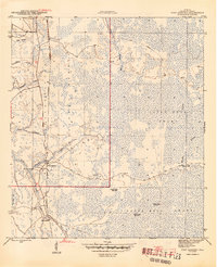
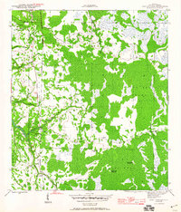
Editions of this 1945 Fort Gadsden Map
4 editions found
Other maps of this area

1943 · Jackson River
USGS Topo · 1:24,000

1944 · Green Point
USGS Topo · 1:31,680

1944 · Forbes Island
USGS Topo · 1:24,000

1945 · Forbes Island
USGS Topo · 1:31,680

1945 · Kennedy Creek
USGS Topo · 1:31,680

1945 · Tates Hell Swamp
USGS Topo · 1:31,680

1945 · Beverly
USGS Topo · 1:31,680

1945 · Jackson River
USGS Topo · 1:31,680

1946 · Sumatra
USGS Topo · 1:31,680

1946 · Owens Bridge
USGS Topo · 1:31,680