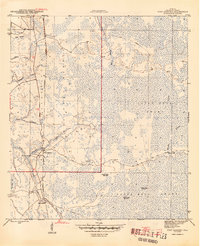
1945 Map of Fort Gadsden
USGS Topo · Published 1945About this map
Fort Gadsden stands as the primary landmark in this riverine landscape, positioned near the east bank of the Apalachicola River just as World War II drew to a close. The terrain is dominated by the dense wetlands of the Apalachicola National Forest and the notorious Tates Hell Swamp, where water bodies like Whisky George Creek and Evans Lake define the geography. The map reveals a specialized industrial landscape of timber extraction, characterized by an Old Logging RR and the Apalachicola Northern rail line passing through Buck Siding. Evidence of former timber operations appears at Walker Camp and Padget Camp, marking locations where temporary settlements once supported the forest economy. River transport remains central to the area's identity, noted by features such as Missouri Landing and the winding course of Fort Gadsden Creek.
Find a feature on this map
27 named features on this map. Tap any name to fly to it.
Don’t see what you’re looking for? This feature index may not catch every label — zoom into the map to look around manually.
Map Details
Editions of this 1945 Fort Gadsden Map
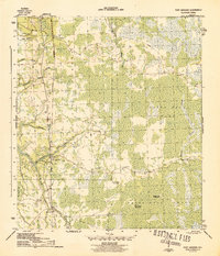
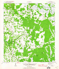
4 editions found
Other maps of this area

1943 · Jackson River
USGS Topo · 1:24,000

1944 · Green Point
USGS Topo · 1:31,680

1944 · Forbes Island
USGS Topo · 1:24,000

1945 · Forbes Island
USGS Topo · 1:31,680

1945 · Kennedy Creek
USGS Topo · 1:31,680

1945 · Tates Hell Swamp
USGS Topo · 1:31,680

1945 · Beverly
USGS Topo · 1:31,680

1945 · Jackson River
USGS Topo · 1:31,680

1945 · Fort Gadsden
USGS Topo · 1:31,680

1946 · Sumatra
USGS Topo · 1:31,680