
1944 Map of Green Point
USGS Topo · Published 1944About this map
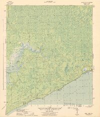
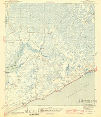
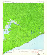
Tattes Hell Swamp dominates this 1943 survey of the Florida Gulf Coast, revealing a dense network of watercourses and wetlands before modern development transformed the shoreline. Along the edge of St. George Sound, small settlements and coastal landmarks like Green Point and Porters Bar mark the thin strip of habitable land. The interior is defined by an Abandoned RR Grade, indicating early logging or industrial efforts that once penetrated the deep swamps of the Panhandle.
Find a feature on this map
36 named features on this map. Tap any name to fly to it.
Don’t see what you’re looking for? This feature index may not catch every label — zoom into the map to look around manually.
Map Details
Editions of this 1944 Green Point Map
4 editions found
Other maps of this area

1943 · Apalachicola
USGS Topo · 1:31,680

1943 · Carrabelle
USGS Topo · 1:24,000

1944 · Pickett Bay
USGS Topo · 1:31,680

1944 · Carrabelle
USGS Topo · 1:31,680

1944 · Sugar Hill
USGS Topo · 1:31,680

1944 · Apalachicola
USGS Topo · 1:24,000

1945 · Tates Hell Swamp
USGS Topo · 1:31,680

1945 · Sugar Hill
USGS Topo · 1:31,680

1945 · Beverly
USGS Topo · 1:31,680

1945 · Pickett Bay
USGS Topo · 1:31,680